HOME > 写真 > 自然・風景 > 宇宙 > 地球
10,000件の写真素材が検索されました。
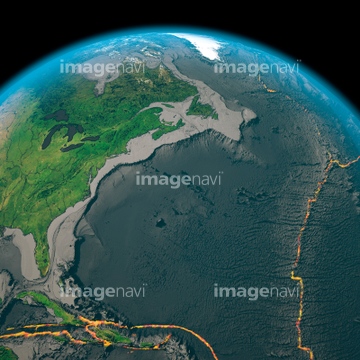
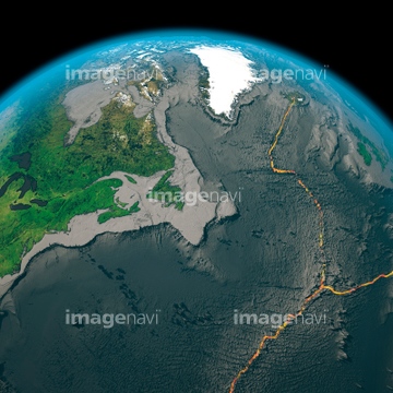
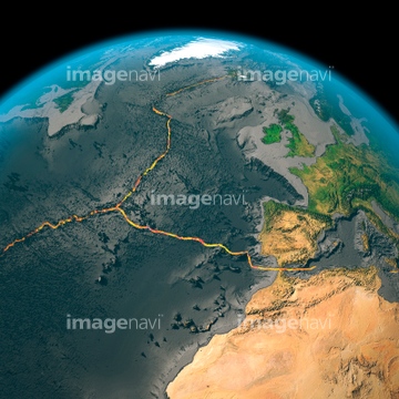
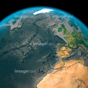
この検索結果には、Global carbon monoxide levels, 2004-2013、Shoemaker crater, satellite image、Northern Asia and the Arctic、East Asia, satellite image、Arctic sea ice maximum, March 2023、Earth, topographic and bathymetric mapなどが含まれています。
64085885
64085886
64078005
64078001
64078002
64078003
64078004
64173655
64014574


64116457

64116458

64215904

64074871

64109422

64040014

64185232

64185233

64185235

64185236
64185237

64185238

64185239

64185240

64185241

64185242

64185243

64185234

64041390

64040007

64040008

64040009

64040010

64040013
64116185

17200234
51424877
17263842
17263845
17263851
17263853
64109467
64109468


64086393

64074792

64074793

64260979


64040011

64040012

64040015

64040016

64041383

64066734

64084875

64046391

64040018

64058420

64058421
64065285

64088667


64210700
64024521
64024522
64183478
64088896
64088897
64088898

64011211

64011230

64088702

64109527

64109558

64116186

64116187

64116188

64200497

64088450

64011192

64011207
64057044
64053596

64053690
64053691
64053692

64075837

64075839
64075840

64075841


64084877


64014700
64016859
99046036
64141450
64162892

64204970

64023738
99021012
99046191
64123565
64123566
64123567

64053325
64059514
64087825

64014421
19913760
64067433
10120700
64084490


64257529

64011214

64011215

64011231

64044794

64044795

64044796
64096993

29252919

64057614
64058334
64046247


64014670

64043123
64064281
64075838

64220039

64089706


64085875

64085876

64085879

64085880


64263237
64263238
64236083
64011276
64084097
64105954
64105956
64105960
64105962

64106823
64015154

64178179
64053599


64041230


64217602
| 次ページ |
