HOME > 写真 > 自然・風景 > 宇宙 > 地球
10,000件の写真素材が検索されました。
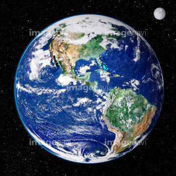
この検索結果には、宇宙から見た地球(NASA提供)、The Bahamas, satellite image、Puyehue-Cordon volcano, satellite image、Chaiten volcano, Chile, satellite image、Extratropical cyclone, UK, February 2014、Saharan dust plume, Bay of Biscayなどが含まれています。

64089327
64098672
64089704
64089702
64151691
64013246
64013247
64013248
64016274


64084875
99046095
99046176


64062430

64064290

51451559
64059714

64057613

64164839


64243149


64062425

64062426


64062428

64062429


64044574


64049194


64067332
63030313
63030401

64088669
64087825
63030865

64170235

64170236


64220039

64064274


64057061
64096998
64259487

64108861

64109506


64109508

64109509

64111650


64131456


64079777


64076181


64243450

64219636

64149337

64061242

64046145


64067333


64075588

64075590

64067336
64109564
64004510


64078685
64016251
64014958


64152470


64057050

64057051

64057052


64057054


64057060


64057064

64014771

64067282


64067286


64067334

64067335

64067337
64087306
64115822
51451152
64090853
64092229
64040979

20543664
20543741


64215904


64014700

64016158


64105772

64264125

64059717

64140770
64111649

64116186

64116187

64116188


64200497

64217603


64043385
53112340

64091491

64044741
64039902

64041342
64004511
64109474
64109477
64087811
64077152
64093881

64014930
64016672
64141174
64062355
64062357
| 次ページ |
