HOME > 写真 > 地図・衛星写真 > 衛星写真 > 環境問題
10,000件の写真素材が検索されました。
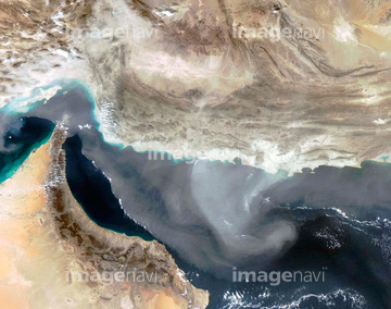
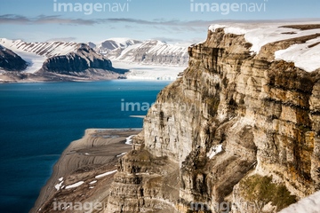
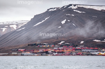
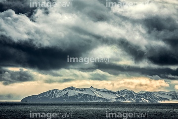
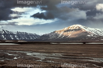
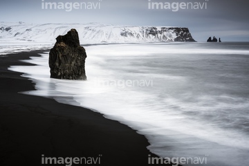
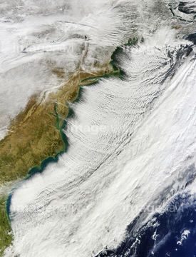
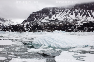
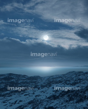
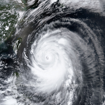
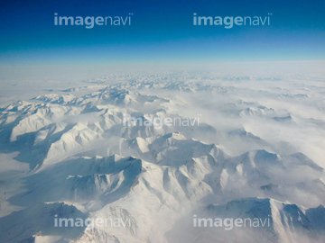
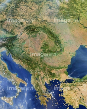
この検索結果には、Longyearbyen, Svalbard、Svalbard mountains、Reynisdrangar sea stacks, Iceland、Cloud streets, Black Sea, satellite image、British Isles, satellite image、Cloud vortex street, satellite imageなどが含まれています。


64093887
64091491
64212358
64091497


64140770


64088669

64064290


64091502


64049194

64108861

64062429

64243149


64170235

64170236


64131456

64264125

64219636

64078685


64149337
64100568

64109474


64243450

64046145

64067332
64122031
64122117
64122153
64122154
64125735


64062425

64062426


64062428

64062430


64091482


64109508

64217603


64067282


64067286


64098700


64100602

64089327

64164839


64044574


64014700

64057052


64057060

64057064

64109509

64197367

64200497


64091427

64067333

64111651

64084875


64161003
64059339
64109560
64141170
64082537
64107663

64210700
64097661


64098695


64097610

64220039

64064274

64016158
64091478
64215480

64014771

64100584


64260979

64204970


64215904
64109477
64109478
64109479

64109506
64111649

64111650
64111652

64116186

64116187

64116188

64079777


64076181

64061242

64043385

64075588

64075590

64046391

64053325

64087874
31718834
64164838


64057050

64057051


64057054


64057061


64067334

64067335

64067337
64196794
64196795
64196796
64011099
64059345

64059357
64059358
64059359
64059360
64059361

64119310


| 次ページ |
