HOME > 写真 > 自然・風景 > 宇宙 > 地球
10,000件の写真素材が検索されました。
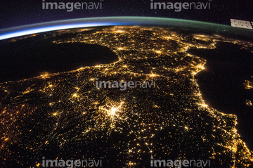
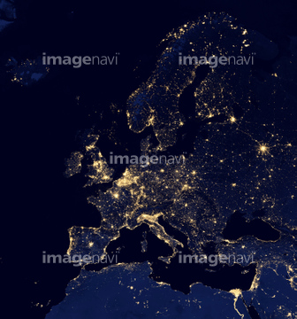
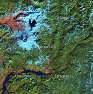
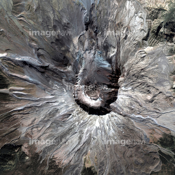
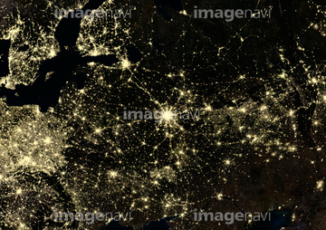
この検索結果には、North Sea at night, satellite image、Europe at night, satellite image、London, infrared satellite image、Mount St Helens, USA, satellite image、Mount St Helens、Danube Delta, satellite imageなどが含まれています。

64093933
64109677

64086667


64141184


64188515

64188516
64188518

64059363
64087305

64139331

64011210
64188517


64062426
64039902

64072059

64072060

64098666

64098673

64098684

64097610

64059340


64059343

64059352

64059353


64059355

64059356
64014749
64139347

64091420
64096996

64098688

64098690

64059349
64131460
64076173
64063156
64063157

64067343
64015483

64091493


64098808


64098696


64098702


64059347

64059350


64059357
64059714


64098677

64098678


64040166

64040203

64040204

64040205

64040206

64073664

64073665

64014752


64131362

64086495


64109443

64109465

64109527

64109558


64079777


64016071

64086444

64044426

64044427
64087306
64161003

64011212


64098667

64098680

64098681


64059362


64041386

64041387

64041388

64073662

64210700

64235896

64049194


64214598


64085876

64085879

64085880
64085887

64109433

64109438

64109441

64109442

64109444

64109460

64109463

64109464

64109476

64109563


64208339

64086393


64086428

64086443


64075191


64087812


64096983
64259647
64259732
64260474

64210710

64046357

64074420

64074422
64141174
64141178

64072484

64072485

64072486

64072487


64072490

64072491
| 次ページ |
