HOME > 写真 > 地図・衛星写真 > 衛星写真 > 地球
10,000件の写真素材が検索されました。
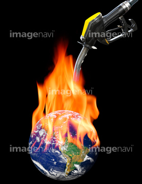
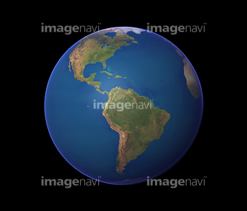
この検索結果には、Fuelling global warming, conceptual image、Earth、Flinders Ranges, satellite image、Saharan dust, composite image、North America, satellite image、Bezymianny volcano, satellite imageなどが含まれています。
64105961
64105962
64105946
64105959
64105954
64105956


64109527

64109558
64075202

64105944
64041231
64105945

64085877

64085878

64040177

64040178

64086428


64106254

64053256

64053257

64053258

64053259

64053260

64053368

64053369

64053371

64053372

64053385

64053561


64074418
64045846
64049619
64047394

64063998
64014672

64087817

64242042

64011214

64011231

64053684

64053686

64040012

64040015

64073666

64043083
64014694
64123571

64040182

64040183

17212132


64074360

64074421

64074424
64014712
64059742
64059743
64040019

64105953


64075591

64072484

64072485

64072486

64072487


64072490


64072494

64072495
64014715

64163256
64050168


64075191


64072059

64072060

64014120
10994719
64058322


64086667
21855584
64160092


64075891


64259482


64074420

64074422
64060329
64093947
64096040
64040273
64073667

64047887

64075588

64075590

64072491

64072492

64072496


64088728

64214597
64059716


64040011

64040016

64040980

64041895

64073662

64073664

64074792
64105951
64123569
64123570
30314030
64014707
64015578
64058834


64075196

64075197

64106283
64014673
64014674
64014675
64014676
64014677
64014678
64014696
64014697
64014698
64014717
64063098

64041345
64072833
64072834
| 次ページ |
