HOME > 写真 > 地図・衛星写真 > 衛星写真 > 災害・気象現象
10,000件の写真素材が検索されました。
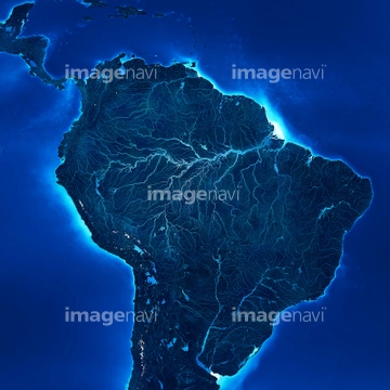
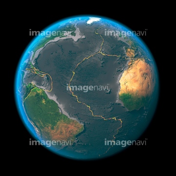
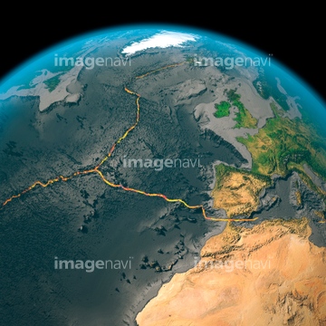
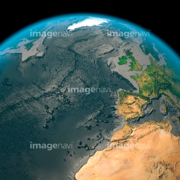
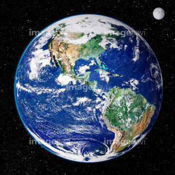
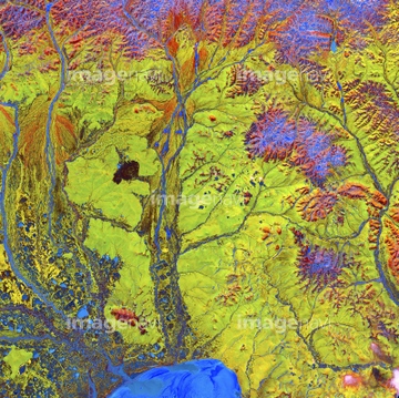
この検索結果には、North Atlantic air traffic map、Global tectonics, north-eastern Atlantic、Global biosphere, October 1997、South America's hydrosphere、Tornado destruction, Arkansas, USA、World land and sea floor topographyなどが含まれています。
64106821
64106822
64106820

64106823
64129763

64041342
64105951
64105962
64105961

64105944
64123565
64123567
64123569
64123570
64123571


64190780

64105954

64091493
64105953

64088450
64105949
64105960

64106826
64106827
64123566
64253423
64086526
64086527
64109467
64109468
64121440
64141178


64106828
64014574
64105956

64170235
64086528

64073662

64041391

64041392
64096998

64088667
17262369
17262370
17262371

64046357
64047084
64014672
64105955
64096985

64106283

64109422
64111651
64098679
64259408

17200234
64105946


64086393
64111485
64014573

64014575

64014120
64105959
64253424
64253425
64253426
64253427
64253428


64011221

64011223

64011225

64011229

64039902


64139338
64049119

64074420

64074422


64096983

64046391
64139336
64014746

64121441
64121442
64163298

64263237
64263238
64011191
64011193
64011196
64123560

64040205

64040206

64170236


64109527

64109558

20573521


64145886
64047394
64141174

64090826

64040177

64040178


64014673
64014674
64014675
64014676
64014677
64014678

64260979
64100576

64040184

64097610

64014715


64131456

52207552

52208135
64011918
64169045
99021001
99021002
99021003
99021004
99021005
99021006
99021007
99046196
99046197
99046199
64097572
64094132
64112894
64011202
64011205
64011210
64040019

64074794

64074795
64100602
64194875
| 次ページ |
