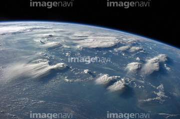
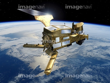
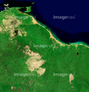
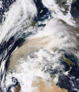
HOME > 写真 > 地図・衛星写真 > 衛星写真 > 災害・気象現象
10,000件の写真素材が検索されました。
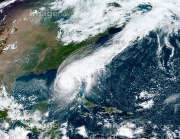
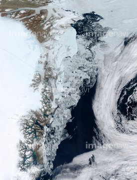
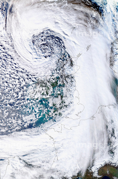
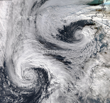
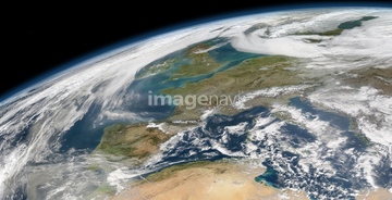
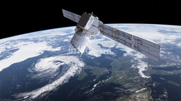
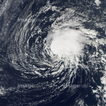
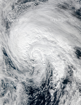
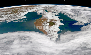
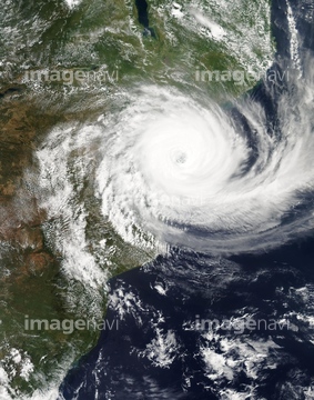
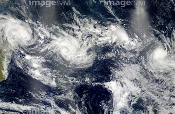
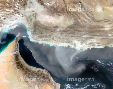
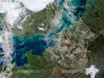
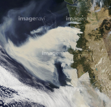
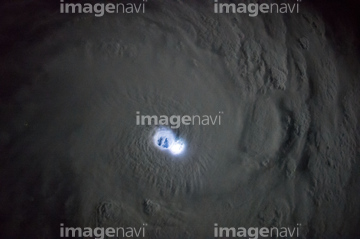
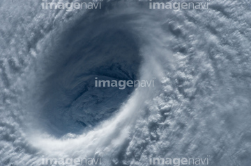
この検索結果には、Barents Sea algal bloom, satellite image、Hurricane Ivan、Tropical Cyclone Cristina, 2014、Antarctic ice shelf calving sequence, September 20…、Typhoon Tokage、Amazon fire detections using satellite data, Augus…などが含まれています。

64108861


64046145


64061242

64243450


64109508


64140770

64135588


64062428


64062430

64057054

64067332


64062426


64076181

64109509

64075588

64075590

64044574


64067333


64219636

64109227

64014970

64014973

64014977

64014987


64152470


64067286

64170235

64170236

64062425

64062429


64014974

64093887


64014976


64014771

64067282


64067337


64079777

64084875


64243149

64064290

64049194


64217603

64109506


64131456


64149337

64014972
64096997

64044794

64044795

64044796


64057050

64057051

64057052


64057060

64057061


64057064

64200497


64140771

64164839


64078929
64078930
64078995
64078996
64078997
64079239
64079240
64079241
64253801
64109560

64014985

64061241

64014968

64220039

64064274


64067334

64067335

64067336

64116186

64116187

64116188

64014930


64046391

64053325


64260136

64062373

64088667


64089327

64111650


17200269
64014109

64014986

64014988

64014989

64017093


64078005

64040185

64040186
64212358
64103757


64043385

17200256

17200257

17200258


64067330


64047888

64116185


64109441

64109442

64109463

64109464
64014964

64014773
64091497
64115728
64115732
64096982


64060109

64060110

64014702

64092867

64092868

64074871
64014117

64088669
| 次ページ |
