HOME > 写真 > 自然・風景 > 宇宙 > 地球
10,000件の写真素材が検索されました。
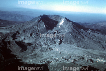
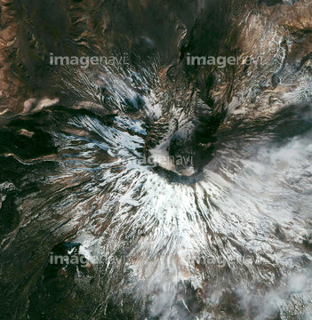
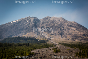
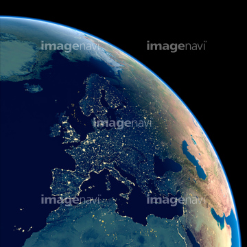
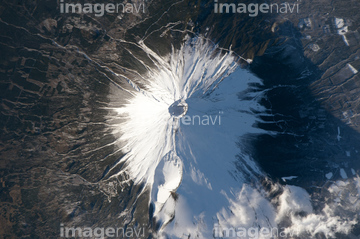
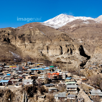
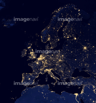
この検索結果には、セントヘレナ火山、Cloud vortex street, satellite image、Europe at night, satellite image、Mount Fuji, Japan, ISS image、Mount Damavand, Iran、Aurora over the Great Lakes, USA, ISS imageなどが含まれています。
64015483
64131461
64104422
64015506
64015539
64015485
20978224
20978228
16811852
16811855
64098692

64086685

64141184
64059363
70006810
64037118
64038029
64090803

64093933
64160022
21234982

64098808
64109677
64123359

64086667
64087873
64161003
64163102
64087305
64087306

64062426
64011210
64131362
64097204
64131460

64086444
64107664
64123357
64123360
64141171
64141178
64088684


64053684


64059343

64059352

64059353
64090810
64090817

64059349

64059350

64051876

64073758


64139331


64139347
64190764
64096981
64096996
64076173
64063156
64063157

64067343

64105772
64167260
64167261
64167262

64218100
64090801

64090826

64091493
64093901
64141174
64098663
64098664

64098666
64098667
64098669

64098673


64098677

64098678
64098679

64098680

64098681

64098684

64098688

64098690

64098693

64098695

64098696


64098700

64098702


64168465
64170956
64059339

64059340

64059345

64059347


64059355

64059356

64059357
64059360
64059361

64059362
64059348
21206746
64011212

64109440

64109462
64109471

64109472

64109509


64016071


64050255
| 次ページ |
