HOME > 写真 > 地図・衛星写真 > 衛星写真 > 環境問題
10,000件の写真素材が検索されました。
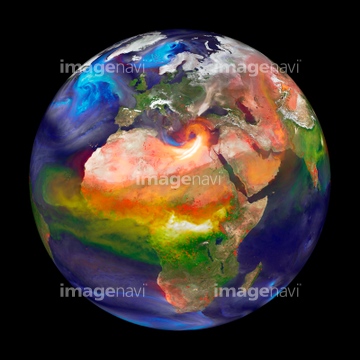
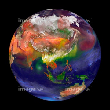
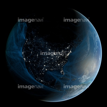
この検索結果には、Atmospheric pollutants, 31 May 2003、Earth at night、Europe and north Africa at night、South American winter, satellite image、Oregon wildfires, July 2021、Atmospheric aerosol distribution, 2015などが含まれています。


64170235

64170236

64014700


64220039

64064274


64016158


64057050


64149337

64131456

64140770

64109508


64116186

64116187

64116188

64200497

64067282

64067286


64057060


64062425

64062426


64062428

64062429


64044574
64109560


64079777

64043385

64075588

64075590
64111649

64111650


64219636

64212358


64057054
64109479
64123569
64123570
64123571

64108861


64129763


64062430

64164839


64243149

64064290

64049194


64089327


64084875

64076181


64061242


64014771

64088450


64057061


64152693

64046145


17200255
64123565
64123567


64217603
64109474
64109477
64109478
64111651

64067333


64015154


17200257


64093887


64088669
64091497
64123566

64091491

64152470

64243450

64109509

64067334
64111652

17200234


64057051

64057052


64057064

64264125
64105953
64106821

64088667

64040007

64040008

64040009

64040010

64040013

64074792

64074793

64011203

64011211

64011230
51425077

64040177

64040178

64041342


64040018

64075591

64046391
64011197

17200256


64109506

64078685


64067332

64067335

64067336

64067337
64105961

64260979
64106822
64088702


64105772

64059717
64197367

17200249

17200250

| 次ページ |
