HOME > 写真 > 科学・テクノロジー > 科学
10,000件の写真素材が検索されました。
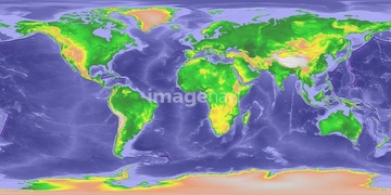
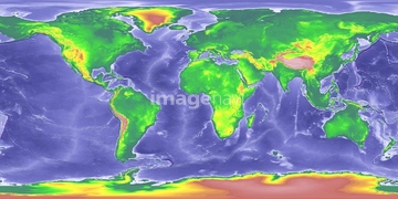
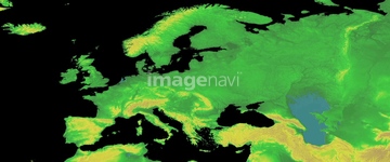
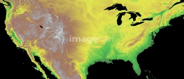
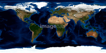
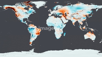
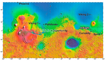
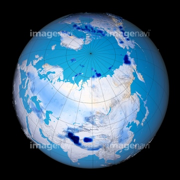
この検索結果には、ランドサット日本列島、ランドサット世界地図、Earth, topographic and bathymetric map、Ground water storage changes, April 2015、Mars mission landing sites、Whole Earth (Blue Marble 2000)などが含まれています。

64146819
64146820

64146827
64146829
64146830
64146823
64146824
64146825
64146826
64146828


70571190


70571191
64106828

64112895

64011221

64011223

64011225

64011229

64041384

64053686

64074902
64173035

64088667

64106823
64112894
64128465

64112898
64112899

64011203

64011211

64011230

64041390

64043123
64089695

64014670

17200249

17200250


17200253


17200255
64194875

64041383

64011200
64041231

64011214

64011231
64190779
64253422
64022873
64075202


64252300

64043083

64014831
64190780
64253423
17200251

17200257


64085877

64085878


64116457

64116458


64057572

64014672
64011198
64011208
64011213

64074792

64074793

64011215
64053496

64040012

64040015

64253424
64253425
64253426
64253427
64253428


64088450
64252301


64022874
64022875
64022876
64022877
64022878
64008713
70571192
64102191
64203019
64203024
64053491

64105661

64075072

64075073


17200256

17200258


64014700

64064274
64105444


64210710
64089685

64131456
64063098
64014717
64011212


64014971
64023450
64078181
64112900
64190450


64062174

64062175
64037990

64041392
64014673
64014674
64014675
64014676
64014677
64014678
64014696
64014697
64014698
64072833
64072834
64014701

64040007

64040009

64040010

64040011

64040013

64040014

64040016

64074794


64200497

64053684

64073666

64014575
64042531
64094266
64094267
64094268
64094269
| 次ページ |
