HOME > 写真 > 自然・風景 > 宇宙 > 衛星
10,000件の写真素材が検索されました。
この検索結果には、ランドサット世界地図、ランドサット日本列島、GOES image of North & Central America、Hurricane Charley、World weather, satellite image、Landsat TM image of East Anglia, Englandなどが含まれています。
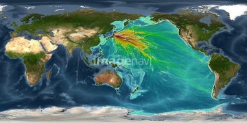
64146829
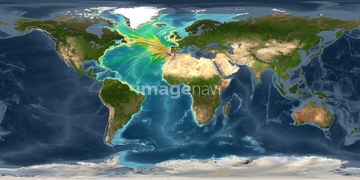
64146827
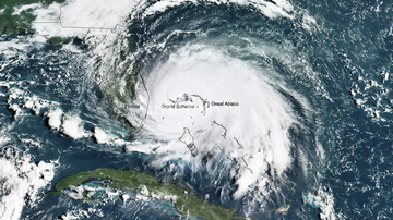
64146823
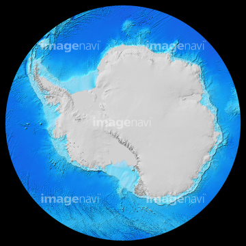
64146824
64146825
64146828
64146830
64146826

64146819
64146820


64008713
70571191

64074902
64243651

64053686

70571190
70571192

64065656


64163101

64016257

64252300

64041390
64252301

64014155

64014193

64016884

64011203

64011211

64011230
64106828

64041384

64014971

64041383

64060621

64014740

64014831


64220114

64016860

64016861

64016862

64016863


64014196

64011200

64011221

64011223

64011225

64011229
64128465
64023450
64170107

64016256


17200250
64190450

64085608
64085609
64085610

64074792

64011214

64011215

64011231

64014975
64089695
64154732

64014670
64025791
64091451
64077859
64188100
64210074
64252636
64172232

64057572
64173035

64088667

64106823

64040012

64040015


64190451


64074793
64014770
64023166
64023337
64023451
64023466
64045944
64045945

64065662
64085760
64022851
64022852

64086001
64188116
64179672


64040007

64040010

64040011

64040016
64040017


64041386

64041387

64041388
64011198
64011208
64011212
64011213
51979658
64086411
64086430
64086680
64086683
64082368
64156314

64026179
64026180
70571204

17200249


17200253


17200255


64105661
64016965

64067342

64067344

64075072

64075073
99074193
17200263
64014923
| 次ページ |
