HOME > 写真 > 科学・テクノロジー > 科学
10,000件の写真素材が検索されました。
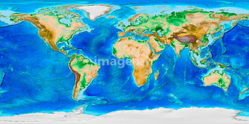
この検索結果には、World land and sea floor topography、Clouds over the Americas, GOES image、Atlantic atmospheric water vapour、World's storms between 1842 and 2017、Intertropical Convergence Zone、ランドサット世界地図などが含まれています。
64146830
64146826

64146829
64146827
64146823
64146824
64146825

64146819
64146828
64146820

64041384

64014752
64106828

64041390

64011203

64011211

64011230

64041383


64011200

64252300
64252301
64128465
64089695
64190450
64194875

64088450

64258105
64258106

64014971

64011221

64011223

64011225

64011229

64173035

64088667

64106823
64190451
64008713
70571191


64204972

64059717
64112895
64105444

64129762


64053686

64074792

64074793

64074902

64011214

64011215

64011231

64043123
64048839
64041231
20530197
20530198
20530199


64014670


64112894

64074794

64043083
64041301

64098673

64085877

64085878
64022873
64015260
64111499
64015154
17200263
64075202
64187310
64190468

64014726
64014727
64014729
64014730
64014732


64074795

20530195
20530196

64041392
64053496
64140095
17200276
64091526

64116457

64116458


64243651

70571190
70571192
64014746

64163101
64016071
64139492
64215902
64159869
64160074
64100133
64173158

64098684


64040007

64040009

64040010

64040011

64040012

64040013

64040014

64040015

64040016
64040017

64040018


64041386

64041387

64041388


64015263

64016256

64016257
64112942

17200249

17200250


17200253


17200255
64089685
| 次ページ |
