HOME > 写真 > 地図・衛星写真 > 衛星写真 > 環境問題
10,000件の写真素材が検索されました。
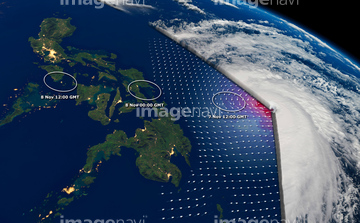
この検索結果には、Super typhoon Haiyan, November 2013、Typhoon Bopha, satellite image、Tropical cyclone Funso、Crew on deck of ship during storm、Lake Baikal, Russia, satellite image、Storm Desmond, UK, satellite imageなどが含まれています。


64140770


64243450

64108861


64082537


64062430

64046145

64014987

64014968

64093887


64067332

64219636


64091497

64149337


64014970

64014973

64014976

64014977

64109508


64062426


64062428


64057054


64152470


64014974
64078929
64078930
64078995
64078996
64078997
64079239
64079240
64079241

64061242

64076181
53114972

64064290

64135588

64109509
64109560


64217603

64011322
64011323


64014972

64140771


64037527
64082570

64062425

64062429

64014963

64014985

64014989

64170235

64170236


64200497


64075588

64075590

64116186

64116187

64116188

64044574

64067282

64067286


64264125

17278137
17278138

64197367


64014930
64212358

64067333

64084875

64243149


64049194


64131456


64088669

64078685
70505285

64014988
50042131
50042130

64109506
64192648

64040993
64014964

64014986

64017093

64067337

64091502
50042129

64092615
64092618
64092619


64014846
64015086

64057050


64057061
23884893
32852073
32852074


64079777


64164839


64043385

64109474
41369579


| 次ページ |
