HOME > 写真 > 自然・風景 > 宇宙 > 地球
10,000件の写真素材が検索されました。
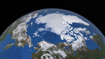
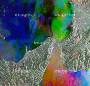
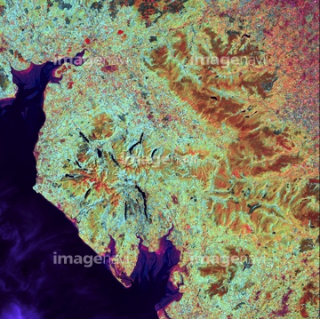
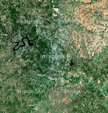
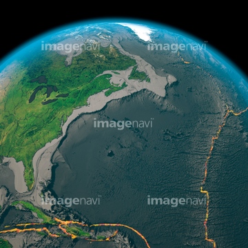
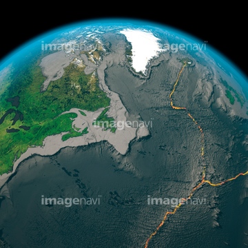
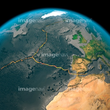
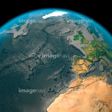
この検索結果には、Lake Tai, satellite image、Popigai crater, satellite image、Roter Kamm crater, satellite image、Upheaval dome, USA, satellite image、Attica peninsula, Greece, satellite image、Anchorage, Alaskaなどが含まれています。
64163298
64252570

64098696
64163299
64139338

64091493
64098679

64098666

64097610
64093935
64141171
64088674
64141178
64088743
64088744
64088747
64088748
64091427
64251625
64121961
64121963

64059357
64096039

64100584
64138459

64090826
64098658
64098659
64098663
64098664
64098667
64098669

64098695

64098700

64188518

64087812

64098804

64098806

64098807

64098808
64163305


64040205

64040206
64139347

64040014
64128970

64149337

64139333
64139336
64097127

64087874
64141174
64059339
64059345
64059360
64059361
64088741
64088745
64088746


64098673


64098677

64098678

64098684

64098688

64098690


64098702


64109441

64109442

64109463

64109464
64078005
64098701

64102918
64260710


64093933
64151692
64151695
64139334
64263649

64129762

64139348

64046391

64053325

64041386

64041387

64041388

64096998
64188517

64098671
64098662
64098670
64244107
64244108
64248639
64248640
64248641
64123560
64123571
64040181

64098660
64098661
64093901

64098803
64091421
64259647
64259732

64092867

64092868

64109439

64109440

64109461

64109462

64109473

64109475

64139331


64109227
64087305

64046357
64047084

64140770

64109433

64109438

64109443

64109444

64109460

64109465
64115729


64141184


64059340
| 次ページ |
