HOME > 写真 > 地図・衛星写真 > 衛星写真 > 環境問題
10,000件の写真素材が検索されました。
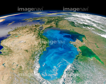
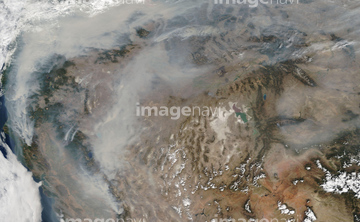
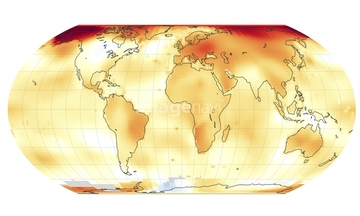
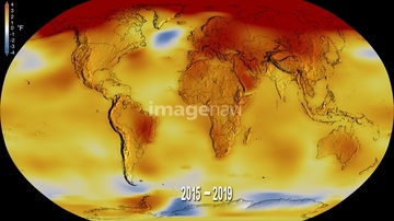
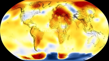
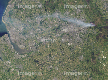
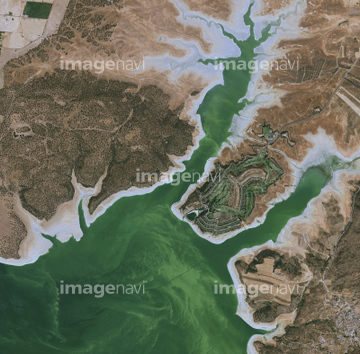
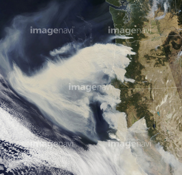
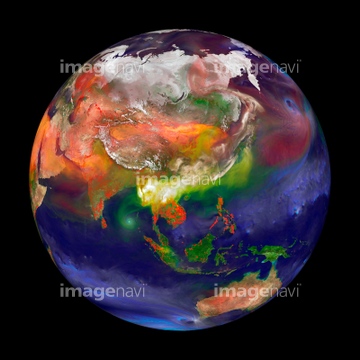
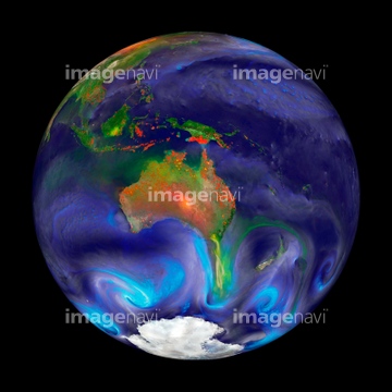
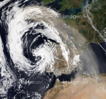
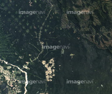
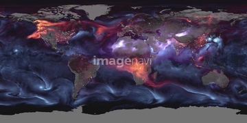
この検索結果には、Atmospheric pollutants, 31 May 2003、Global biosphere, October 1997、Aral Sea, satellite image, 2014、Pannonian Basin, satellite image、Amazon River basin fires, satellite image、Madagascar, satellite imageなどが含まれています。


64109509

64219636

64200497

64218100

64014773


64062426


64062428

64062430


64044574

64014771


64243450


64116186

64116187

64116188


64049194

64131456


64257529


64217603


64152470


64057054


64108861

64109506


64109508

64061242

64046145

64067332

64075588

64075590

64170235

64089327

64164839


64243149

64062425

64062429


64064290


64256566


64079777


64140770


64203337

64264125


64067282

64067286


64067337

64170236

64220039

64064274

64057050


64057061
64197367


64111650

64084875

64076181

64149337


64067333


17200257


64217602

64088669

64091491


64167300
64257903
64257904
64192700


64057051

64057052


64057060


64057064


64067334

64067335

64067336

64185243

64014976


64105772

17200256


64014700

64016158
64109560

64111649

64078685

64043385

64169502

64014930
64109477
64109478
64109479

64253111

64253112

64014985

64014987

64014988

64014989


17200258

64135588

64210700
64040993
64088741
64088745
64088746


64154867

64059717

64046391

64053325

64140771

64170956

64185241

64185242
64255401
64257399
| 次ページ |
