HOME > 写真 > 自然・風景 > 宇宙 > 衛星
10,000件の写真素材が検索されました。
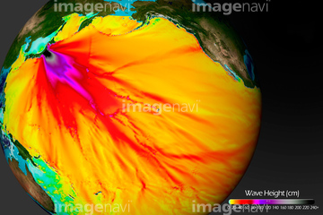
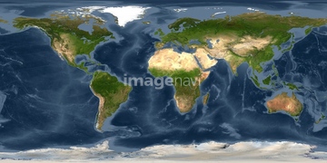
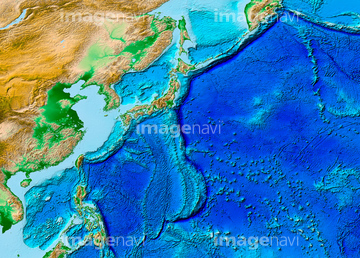
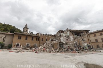
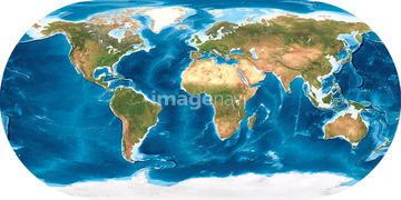
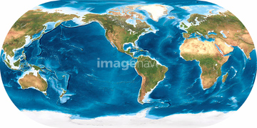
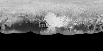
この検索結果には、Lunar eclipse seen from the Moon, 2011、Asia, satellite image、Europe, satellite image、Europe, political map、2011 tsunami height and travel times、World land topographyなどが含まれています。
64146820

64146819

64106828

64075198
64173035

64040184
64067564
64252301

64041383

64040182

64040183

64252300

64041390

64116457

64116458
64075199


64088667

64106823
64190450
64190451
64239490

64041384
64067302

64146827
64146829
64146830

64014971

64041391


64011203

64011211

64011230
64075200

64041392

64014575
64067803
64113708
64067283

64067292

64067293

64067300

64067303

64011200

70571190

64105944
64146823
64146824
64146825
64146826
64146828

64011221

64011223

64011225

64011229
70571191


64067291
64008713

64014670


64109443

64109465

64048032
64113702
64113703
64113704
64075201
64179544
64130322
64113709

64159865
64159866


64088728

64014831

64014120

17200257


64040203

64040204

64040205

64040206

64102191

64041386

64041387

64041388


64053686
64261338
64261339


64088450
64065662

64014421

64109433

64109438

64109441

64109442

64109444

64109460

64109463

64109464
64127277

64040007

64040008

64040009

64040010

64040011

64040012

64040013

64040014

64040015

64040016
64040017

64040018

64011214

64011215

64011231
64109146
64109147
64014696
64014697
64014698

17200249

17200250


17200253


17200255
64011198
64011208
64011213

64059717

20506144
64014573
64123571

64047888

64053486
| 次ページ |
