HOME > 写真 > 自然・風景 > 宇宙 > 地球
10,000件の写真素材が検索されました。
この検索結果には、地球儀,アメリカ、Northern Europe and the Arctic、North America, satellite image、Europe, satellite image、Arabian Sea, satellite image、Northern Asia and the Arcticなどが含まれています。
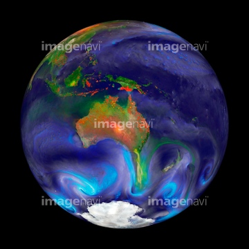
64085885
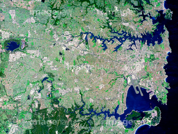
64085886
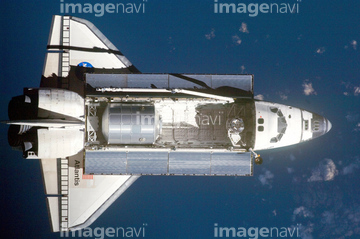
64078005
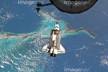
64078001
64078002
64078003
64078004

64014574
64254088
64112158
64112160
64053596

64043123
64123529


64215904
64109477
64109478
64109479


64040014
64016859

64011207
64053597
64053599
64109467
64109468
64057044

64053690
31166181
31166188
31166189
64123567

64086393


64041383

64041390

64074871

64084877
64105960

64040007

64040008

64040009

64040010

64040013

64074792

64074793

64109422
64170956
64109474
64105962

17200234
51424877
40864502
40864503
40864504
40864505
64235139

64105944

64131456
41166146


64085875


64185232

64185233

64185235

64185236
64185237

64185238

64185239

64185240

64185241

64185242

64185243

64185234
64109483

64057613

51988299
64064281
64075838
64023603

64220039
99046036
70093222
70093223
70093224
64075891

64011192


64116457

64116458
64058334
64053691
64053692

64040011

64040012

64040015

64040016

64066734

64075837

64075839
64075840

64075841


64084875
64088896
64088897
64088898

64200497
64067518
64067302

64040018
64051986
64051987
64052467
64052468
64106149
31166180

64088667

64014421
64189415
64051846
64051847
64123565
64123566
64059744
31166178
31166179
31166182
31166183
31166184
31166185
31166186
31166187
31166190
31166191
31166192
31166193
31166194
31166195
31166196

64236109
30327936
30327937
31157983
31157984
31157985
31157986
31157987

31161334
31158567
41181248
40837421
64105954
64105956

64082370
64105950
99021012
99046191
30080569
70093226
99021001
99021002
99021003
99021004
99021005
99021006
99021007
99021022
| 次ページ |
