HOME > 写真 > 自然・風景 > 山
10,000件の写真素材が検索されました。
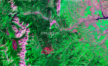
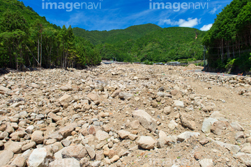
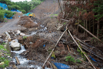
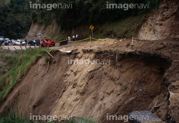
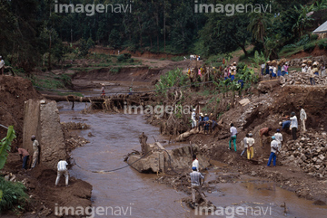
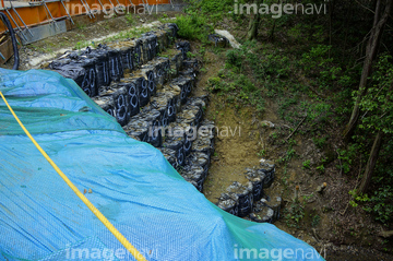
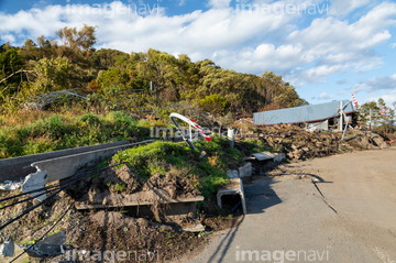
この検索結果には、土石流災害 豪雨被害 2011年9月 台風12号、土石流災害 東神野川、山の土砂崩れ防止柵、災害、ガケ崩れ 、自然災害による山の土砂崩れなどが含まれています。
64008574
70174285
70174234
70082256
41231170
70197947
50317356
50317357
50317358
41230680
40822864
70081742
41231432

41231433
41231434
41232190
41232191
41232192
41232193
50054338
50237345
50237346
50237347
50237350
50237351
50237352
70349382
41226936
41228697
41228698
40052151
40052152
40052155
41230638
41230708
41230709
41231177
41231178
41231179
41231531
70435596
70435597
31098284
31098286
50241784
50214176
50214177
10106468
50128477
70081880
41484260
50056802
50056806
70095815
50128511
50128588
50128595
30312742
64086616
40052153
40052154
41231431
50056795
50128453
50128473
50128474
50128475
50128485
50128494
50056796
32877551
41387770
64045507
70431240
70431241
50128428
50128481
50128482
50128496
50128497
50128501
50128567
50128582
50128587
50128599
70169619
10106452
10106457
10106460
30387557
30379974
50128469
70006642
30317294
31007906
31007907
70006644
64076567
64076568

64086621
64086629
64086639
64016246
64016247
50128578
70435593
70435594
64259367

50128480
50128483
50128484
50128534
50128555
50128586
50056781
50128465
50128581


10106462
10106465
10106467
10106414
10020361
50056801
50056803
64237586
64086615
10107210

50244052
50244053
41230628
41230629
41230630
41230631
41230632
41230633
41230634
41230635
41230636
41230637
30382825

50056772
50056773
50128538

50128576
70034750
10106458
50128478
50128479
50128495
50056765
50128571
50128579
64017048
64017049
| 次ページ |
