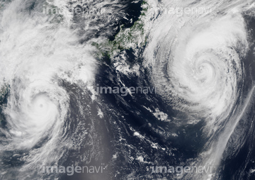
HOME > 写真 > 地図・衛星写真 > 衛星写真 > 災害・気象現象
10,000件の写真素材が検索されました。
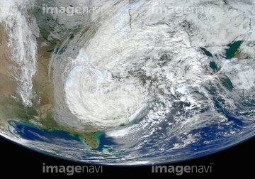
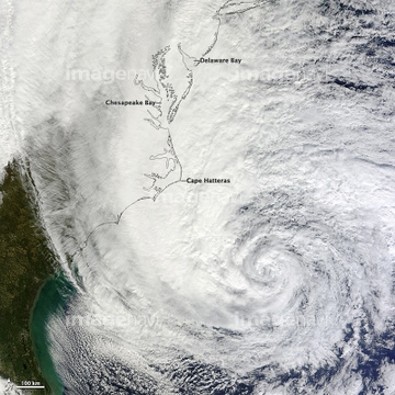
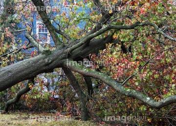
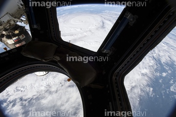
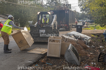
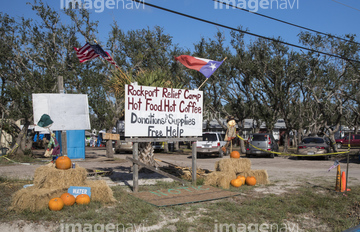
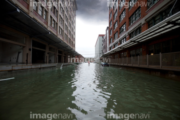
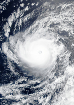
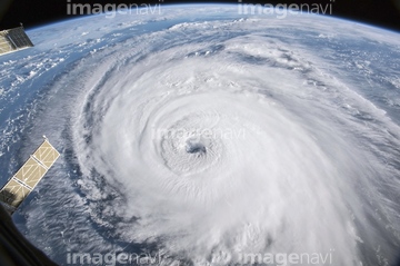
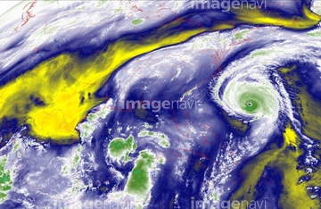
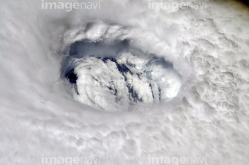
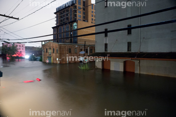
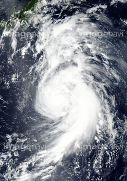
この検索結果には、Hurricane Harvey cleanup, Texas, USA、Hurricane Sandy 2012, ISS image、Hurricane Harvey relief camp, Texas, USA、Hurricane Sandy, 28th October 2012、Hurricane Sandy, 29th October 2012、Hurricane Dennisなどが含まれています。


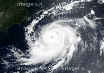
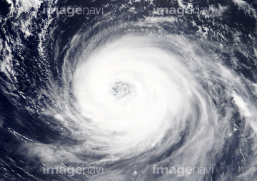
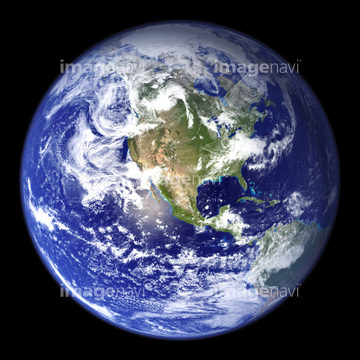
20506144

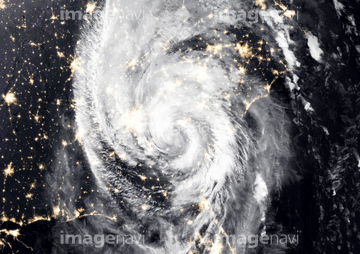
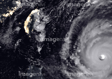
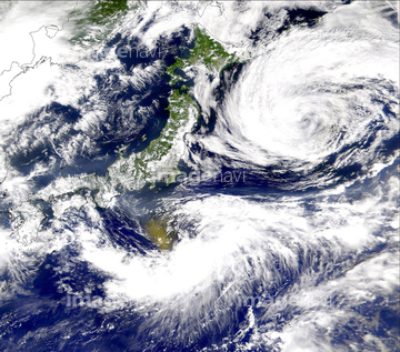
64053690

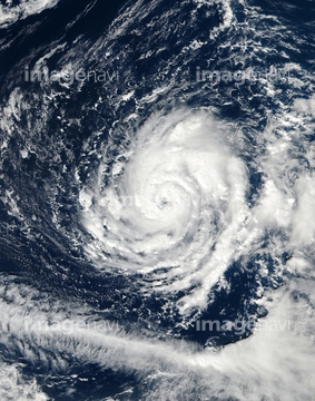
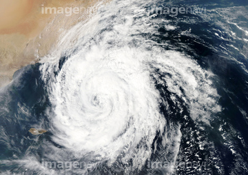
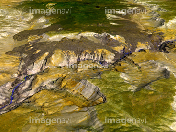
64169046

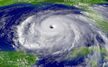
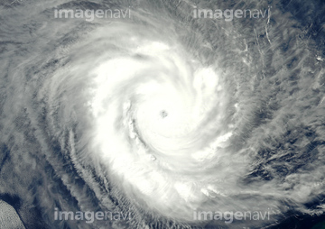
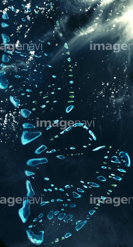
64169059

17200234
64008934
64169045
64100936

64158798
64158799
64158800

64158801
64158805
64158806
64158807
64158808
64158809

64158810

64158811
64158812
64158813
64158814
64158815
64158816
64158817
64158818
64158819
64158820
64158821
64158822
64158823
64158827

64062373

64060109

64060110

64014977

64153521
64014961

64040185

64040186
99021089
99021090
51979616
64014117
64213125

64014421

64014670

64014700

64074792

64074793
64169090
64169091
64169092
64190194
64193314
30046969
64096990

64152465
64063246

64046145

64044794

64044795

64044796
64050064
64187425
31785913
64193313
31762534
64158828
30389919
31785915
31785916
31762089
31763000
31763001

64014968

64093887

64116185
17200271
64100278
64100606
64100607
64220049
64037523
64037524
64037540


17201628
17237119
17237124
17257869
20523772


64082370
51988201
51424861
51424877


17200266
64014109

64014971

64014974
64105444

64106823

64037952

64152471
64097324

64201276
64055103
64088896
64088897
| 次ページ |
