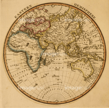
HOME > 写真 > 地図・衛星写真 > 古地図 > 世界の古地図
10,000件の写真素材が検索されました。
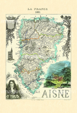
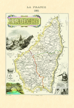
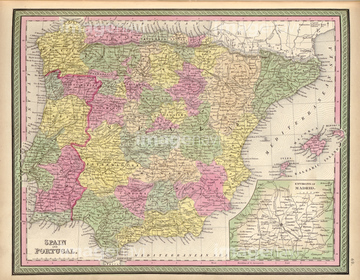
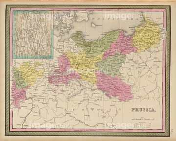
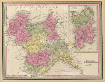
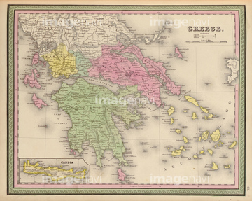
この検索結果には、Aisne 1850、Ardeche 1850、Aveyron 1850、Cher 1850、Dordogne 1850、Drome 1850などが含まれています。

51414360

51414338

51414340

51414344

51414347

51414348

51414353

51414354

51414355

51414356

51414358

51414359

51414421

51414422

51414423

51414424

51414425

51414429

51414430

51414432

51414433

51414434

51414435

51414436

51414437

51414438

51414439

51414440

51414441

51414442

51414339

51414343

51414349

51414350

51414351

51414361

51414426

51414427

51414428

51414431

51414357

51414341

51414346

51414362

51414342

51414345

51414352
51414337

51428841
51428842
51428843
51428844
51428845
51428846
51428847
51428849
51428850
51428851
51428852
51428854
51428855
51428859
51428838
51428839
51428840
51428848
51428853
51428856
51428857
51428858
51428860

51437213


64055079

64055083
51435764
51417109
51417152

51435752

70102713


64055081

64052655

64052692
51435763
51435766

30047320

30047323

51422778
51435892
51436337
51422969

51405927

51405928

51405929


51405937


51405939

51405941

51405944

51405945

51405946

51410014

51410015

51410019

51410020

51435750
51435751
51435760

51422887

64055074

64055075

64055073

64055082

51423095
51417150
51435753
51435754
51435755
51435761
51437236
51435900
51436288
51436345
51435835
51435840
51435758
51435759
51435762
51435765


51437237

51437238

51437245

51437251

64055077

64055078
30047318
30047322

51422840

51435917

51421621
51417138
51417143

51422780
51435749

51422774

51435756
51435757
51435767
70102711
70102712

70125589
51435861
51435889
51435890
51435891

51435894
51435895
51436334
51436335
51436336

51436339
51436340
51435827
51436507
51435828


51436399
41421473
41421578
51435888
51435893
51435905
51436208

51436216

51436223

51436333
51436338
51436343
51436344
51436350
51436352

51435826
51435831
51436292

| 次ページ |
