HOME > ژتگ^ > ڈو‚蕨پEŒً’ت > Œً’تƒCƒپپ[ƒW > ’nگ}
10,000Œڈ‚جژتگ^‘fچق‚ھŒںچُ‚³‚ê‚ـ‚µ‚½پB
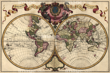
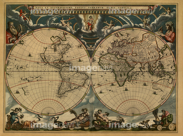
‚±‚جŒںچُŒ‹‰ت‚ة‚حپAMap of Holland 1622پANetherlands, Map Zeeland 1622پAMap of Transylvania, Roumania 1622پAMap of Antwerp, Belgium 1622پAMap of Belgium & Namur 1622پAElevation map of Jerusalem in 1666‚ب‚ا‚ھٹـ‚ـ‚ê‚ؤ‚¢‚ـ‚·پB


51437221

51437220


51435565
51437218

64055076

64055082


64055077


51436380

64052692

51437237

51437238

51437245

51437251

51435917

51435725


51435740

64055081

64055083

64055079


64052698
51437233

51437242

51437246

51437247

64052702


51411517

51411518

51411519

51411520

51411444

51430900

51435746


51435722

51435723

51435730

51435739

51435724

51435731

51435735

51436143


64055073

51437213
51414337

51414338

51414339

51414340

51414341

51414342

51414343

51414344

51414345

51414346

51414347

51414348

51414349

51414350

51414351

51414352

51414353

51414354

51414355

51414356

51414357

51414358

51414359

51414360

51414361

51414362

51414421

51414422

51414423

51414424

51414425

51414426

51414427

51414428

51414429

51414430

51414431

51414432

51414433

51414434

51414435

51414436

51414437

51414438

51414439

51414440

51414441

51414442

64055078

51405941

51405946

51410014

51410015

51410019

51435928

51435939


51436021

51436026

51436074

51436111

51436112

51436129

51436130

51436153


51436158

51436166

51436182

51436287

51436290

51436315

51436319

51436398

51436414

51435741
51435749
51437231
51437206
51437257

51435750
51430901


64055074

51411445

51411446

51411447

51411453

51411454

51411455

51411456

51411466

51411467

51411469

51411470

51411503

51411516

51435535
51430890

51411448

51411457

51411459

51411468

51411505

51411506

51411508

51411509

51411513

51411523

51411524


51435921


51436696

51411449

51411452


51411461

51411462

51411464

51411465

51411502

51411504

51411511

51411512


| ژںƒyپ[ƒW |
