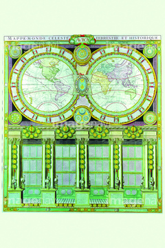
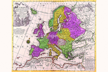
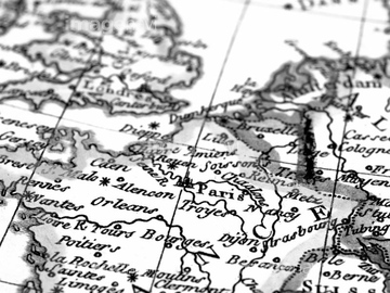
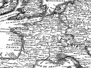
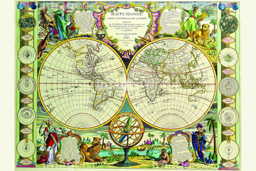
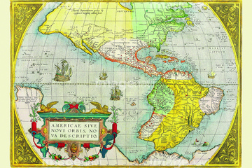
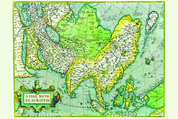
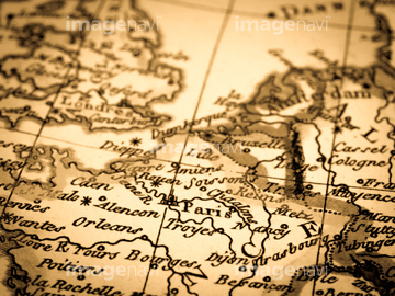
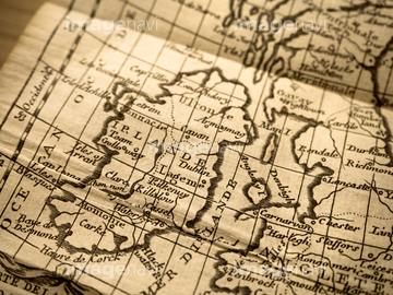
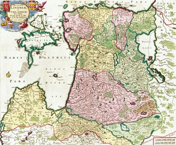
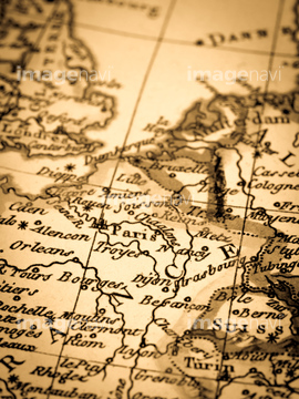
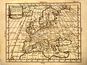
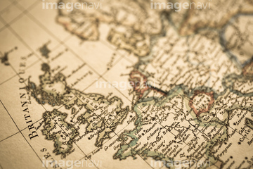
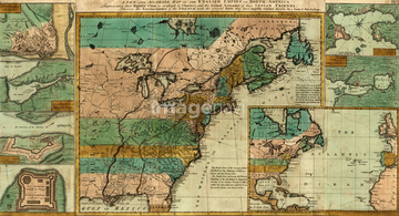
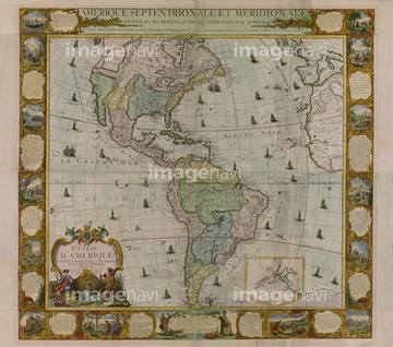
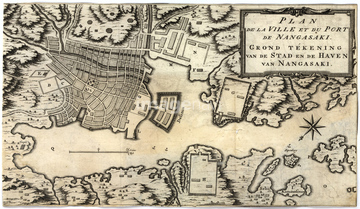
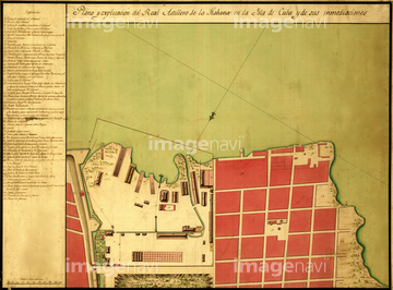
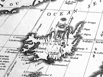
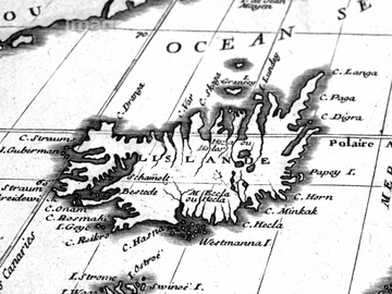
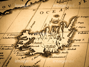
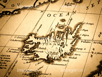
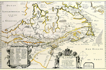
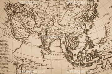
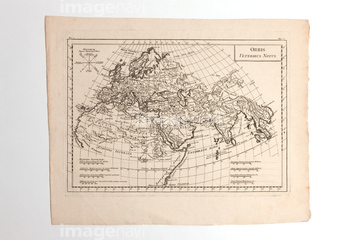
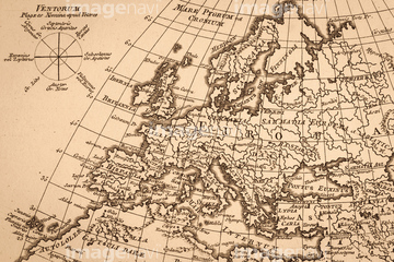
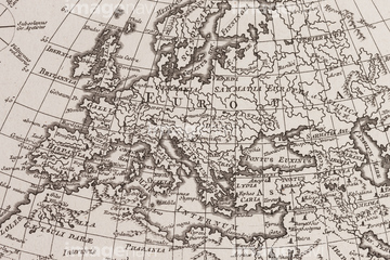
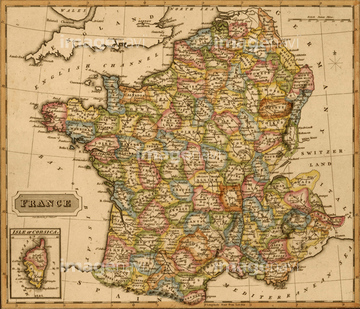
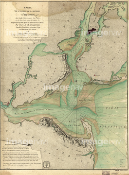
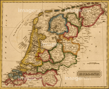
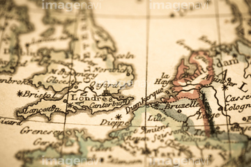
HOME > 写真 > 地図・衛星写真 > 古地図 > 世界の古地図
10,000件の写真素材が検索されました。
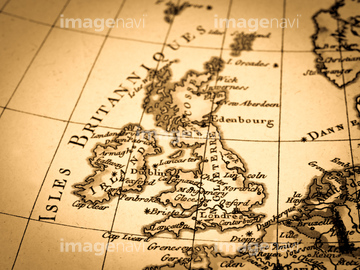
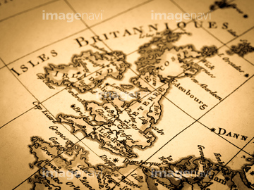
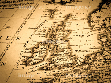
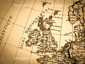
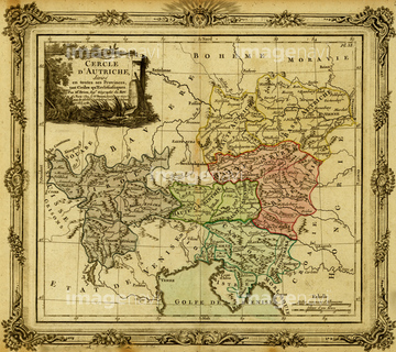
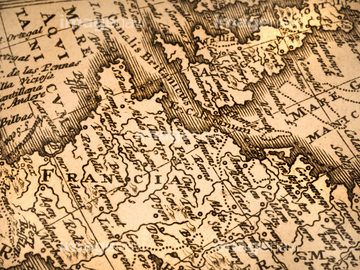
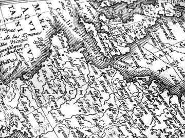
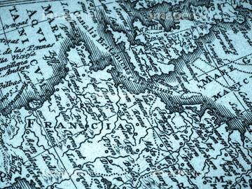
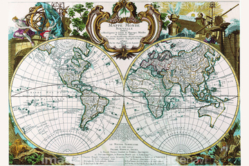
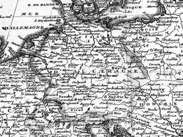
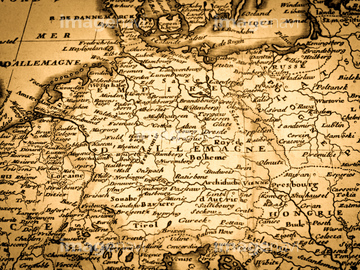
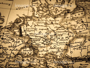
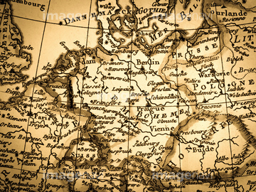
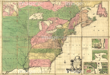
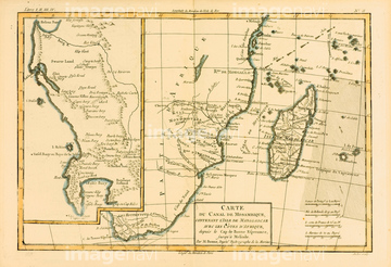
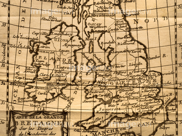
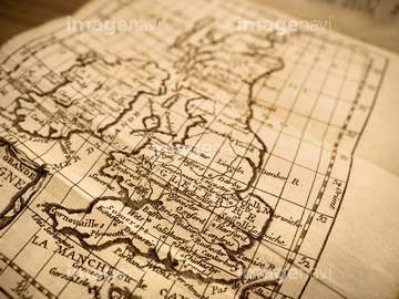
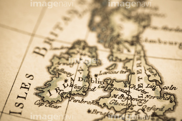
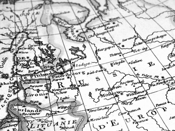
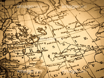
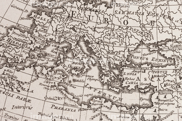
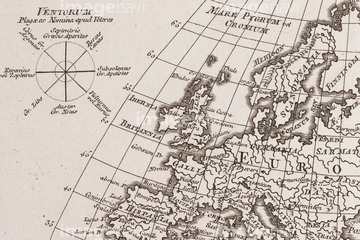
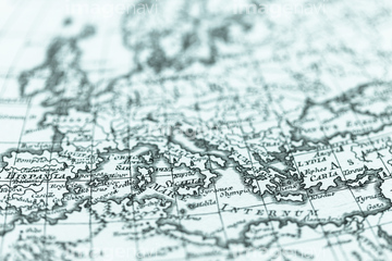
この検索結果には、アンティークの世界地図 フランス、アンティークの世界地図、Ain 1850、Allier 1850、Bses Alpes 1850、Ardennes 1850などが含まれています。

51437213


64055073

51437236

64055074

64055075
41421473
41421578

51437221


51421885

51436291

40544551

51414342
41421472

64055078

51414337

51414338

51414339

51414340

51414343

51414344

51414347

51414348

51414349

51414350

51414351

51414353

51414354

51414355

51414356

51414357

51414358

51414359

51414360

51414361

51414421

51414422

51414423

51414424

51414425

51414426

51414427

51414428

51414429

51414430

51414431

51414432

51414433

51414434

51414435

51414436

51414437

51414438

51414439

51414440

51414441

51414442
51437232
51437259

41421698
41421737

51435748
41455220
41455244
41421458
41421459
41421460
41421685
41421686
41421687
41421688
51436397
41123621
41123622
41123623

51414341

51414345

51414346

51414352

51414362
51492538

64052655
41421736
41455227
41088200
41421464
51437217

51421884

51421898
41421465
41421467
41421579
41421699
41421730
41421731

51421889
41455218
41455221
41455230
51436027
51435553
51436076
51436284
51436289

51405937


51405944
51436213
51436215
51436218
51436219
51436221
51436222
51436244
51436247
51436250
51436252
51436400
51436403
51436405
51437249
51435529
51435538
51436402

41088265

51421890

51421916

51421920


51421877

51421879

51421880

51421883

51421888

51421894

51421895

51421896

51421897

51421899

51421904

51421905

51421906

41455219
41455231
40533718
41421570
41421571
41421697
41421715

51421901

51421907
41455246
41455248
41088199
41421470
41421852
40533712
40533713
40533722
40533723
40533725
41088261
41088262
40534578
40534579
40534582
40534583
51435764
51435763
41088201


51437237

51437238

51437245

51437251
51436224
51436248
51436251
51435567

| 次ページ |
