HOME > ژتگ^ > ڈو‚蕨پEŒً’ت > Œً’تƒCƒپپ[ƒW > ’nگ}
10,000Œڈ‚جژتگ^‘fچق‚ھŒںچُ‚³‚ê‚ـ‚µ‚½پB
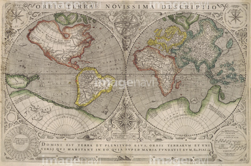
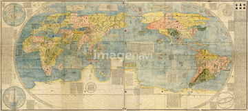
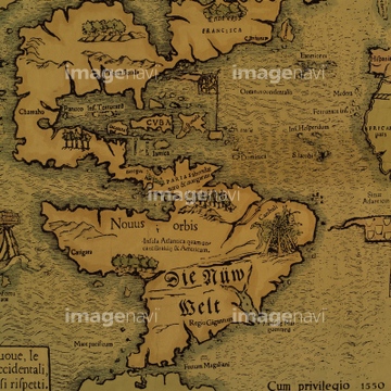
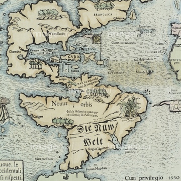
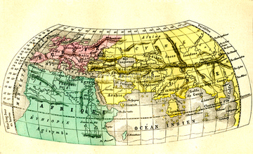
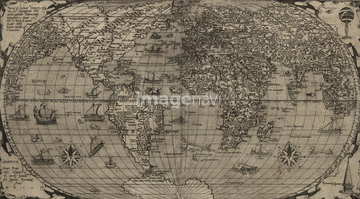
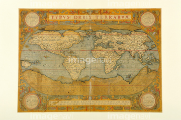
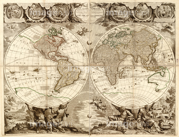
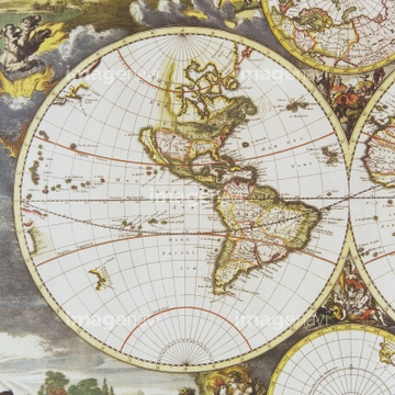
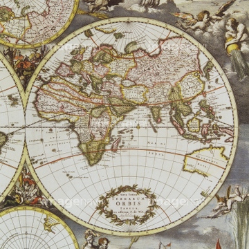
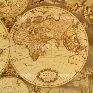
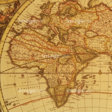
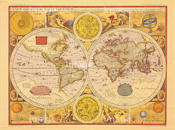
‚±‚جŒںچُŒ‹‰ت‚ة‚حپAƒAƒ“ƒeƒBپ[ƒN‚جگ¢ٹE’nگ}پAŒأ’nگ}پ@“Œ“ىƒAƒWƒAپAŒأ‚¢گ¢ٹE’nگ}پAWorld Map 1732پAThe Americas at the Time of Columbus Prited in 165پcپABritannia 1676‚ب‚ا‚ھٹـ‚ـ‚ê‚ؤ‚¢‚ـ‚·پB
51437218

64055082


64055076


51437221
51437220


64055073

51435746

51436380


64052702

64055079

64052698

64055074

64055075


64055083


51435740

51437233

64052691
51430893


51435749
51437257

64055077

51435741

64052692
40583492
40583494
40557042
40557044
40560935
40560936
40560937
40560983
40560984
40560985
40560986
40560987
40561442
40561445

51435748

51437242

51435745

51436381

51436182

51410019

51436390
51490752
64082631
64082632
64082639
64082665
64082667
51495010

10307332

10307334

10307301

10307315
10307316
10307317

10307320

10307323
10307330

10307331

10307335

10307344

10307345

10307348

10307349

10307351

10307356

10307357

10307360

10307362

51435744

10307361

70125589


64055081

64082614
19283091
19283231
19283234


53107612

51437237

51437238

51437245

51437246

51437247

51437251

51932833
64107453
51436241
70102712
51436392

40544551
51437241

51430900

51411444
51437255
30047317

51436696
70102711
64083427

51421923

51436174


64082662

10307333
10307302
10307303
10307305
10307307

10307308
10307309
10307310
10307312
10307313
10307314
10307318
10307319
10307321

10307322
10307324
10307325
10307326
10307327
10307328
10307329
10307336
10307337
10307338
10307339
10307340

10307341
10307342

10307343
10307346
10307347

10307350

10307352

10307353

10307354

10307355

10307358

10307359
10307390
10307391
10307392
10307393
10307394

10307395
10307396
10307397
10307398
10307399
10307400
70125587


51421922

51435928

51435939


51436021
| ژںƒyپ[ƒW |
