HOME > ژتگ^ > ڈو‚蕨پEŒً’ت > Œً’تƒCƒپپ[ƒW > ’nگ}
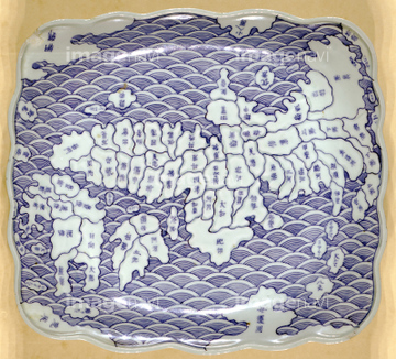
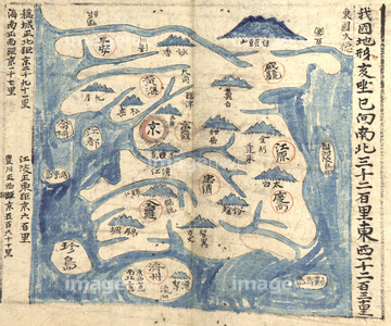
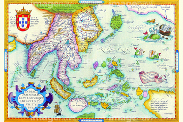
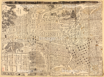
10,000Œڈ‚جژتگ^‘fچق‚ھŒںچُ‚³‚ê‚ـ‚µ‚½پB
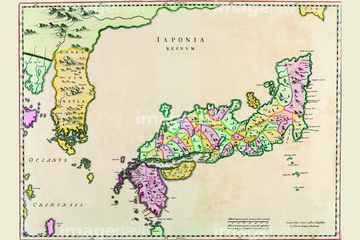
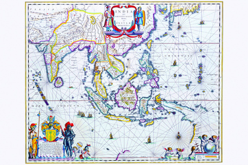
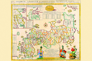
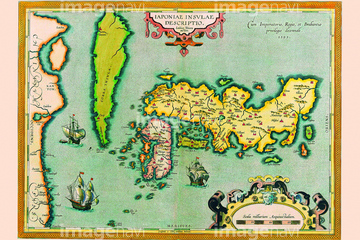
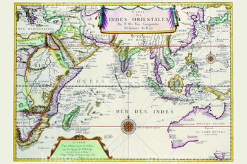
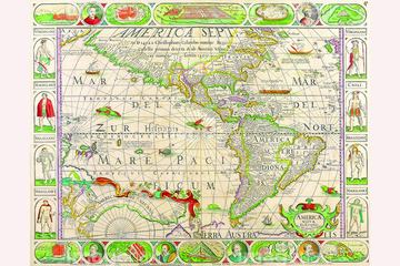
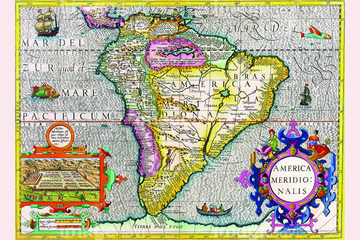
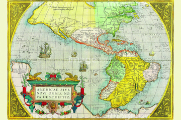
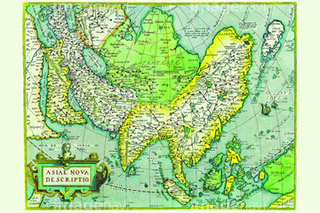
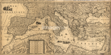
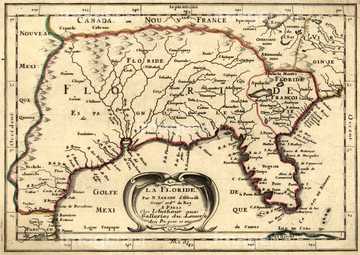
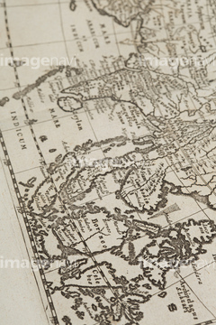
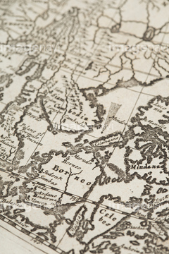
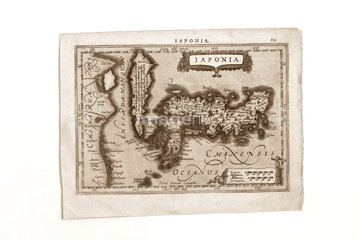
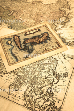
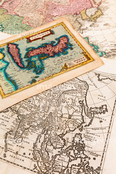
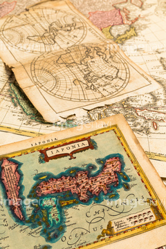
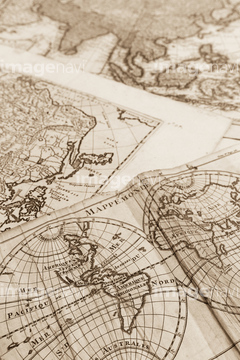
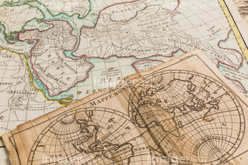
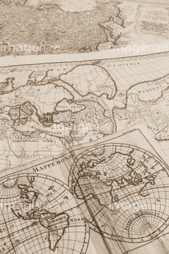
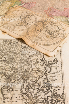
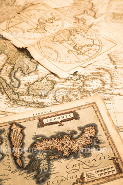
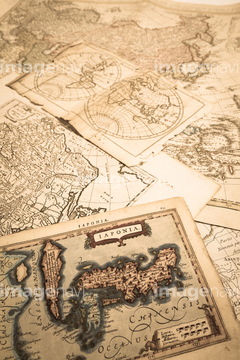
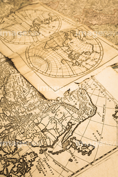
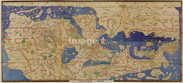
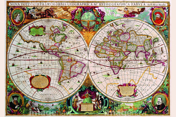
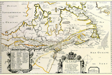
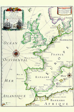
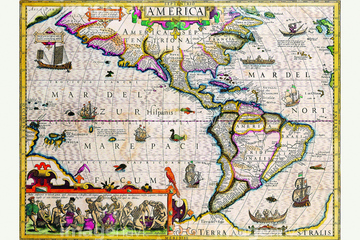
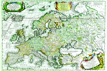
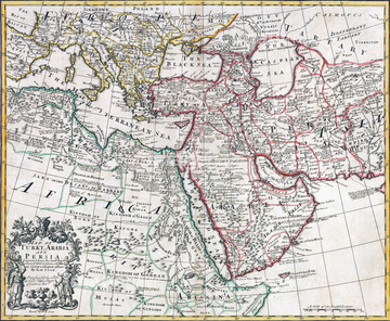
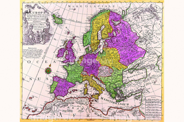
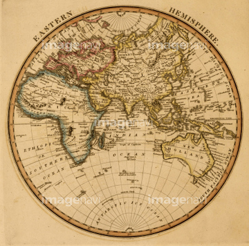
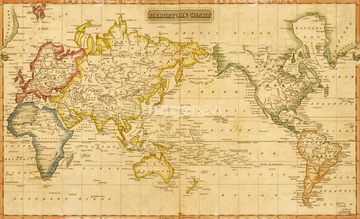
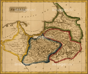
‚±‚جŒںچُŒ‹‰ت‚ة‚حپAMediterranean Sea - 1695پAMediterranean Sea - 1680پAMediterranean Divied into its Principal Parts - 16پcپAAsia - 1680پALa Floride - 1657پADionysius in the world traveled by the Greeks 163پc‚ب‚ا‚ھٹـ‚ـ‚ê‚ؤ‚¢‚ـ‚·پB
51437255


51435746
51437257

51437221

64055083

51435558


51410015

64055076

64055077

64055081

64055082

64052692

64055073


51437233

51437237

51437238

51437242

51437245

51437246

51437247

51437251


51435559

51435560

51435561

51435562


51437213
51437232
51437259


51411503


51436205
51436206


51436308
51436691


51430900

64055074

64055075
40557042
40557044
40560935
40560936
40560937
40560983
40560984
40560985
40560986
40560987
40583492

40583494
40561442
40561445

51410014

51410019

51405941

51405946

51436074

51436111

51436112

51436129

51436130

51436153


51436158

51436166

51436182


51436287

51436290

51436315

51436319

51436380

51436398

51436414

51435740

51435741

51435928

51435939


51436021

51436026
51492537
51492549
64082614
64082723
51435743
51437218
51437241

51436696

51411444

51411445

51411446

51411447

51411448

51411449


51411451

51411452

51411453

51411454

51411455

51411457


51411459

51411460

51411461

51411462

51411463

51411464

51411465

51411466

51411467

51411468

51411469

51411470

51411502

51411504

51411505

51411506

51411508

51411509


51411511

51411512

51411513


51411516

51411517

51411518

51411519

51411520

51411521

51411522

51411523

51411524

51436317

51435747

51435930


64052655
51437206

51437220
51437231
51437240
70097078
51422966
51435548

64052702

51435514
51435515
51437253
51437236
51435749

51435750
51435751

51435752
51435760
51436363

51424030
51430883
51430890
51430901
51435923
51435935

51424032

51411456

51436137
| ژںƒyپ[ƒW |
