HOME > ژتگ^ > ڈو‚蕨پEŒً’ت > Œً’تƒCƒپپ[ƒW > ’nگ}
10,000Œڈ‚جژتگ^‘fچق‚ھŒںچُ‚³‚ê‚ـ‚µ‚½پB
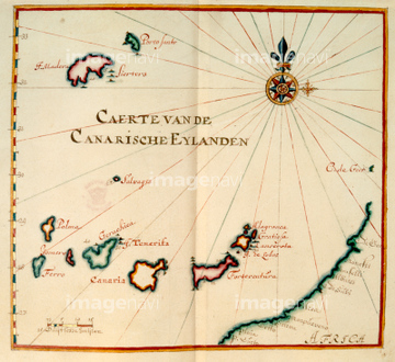
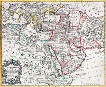
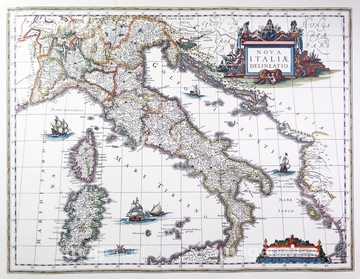
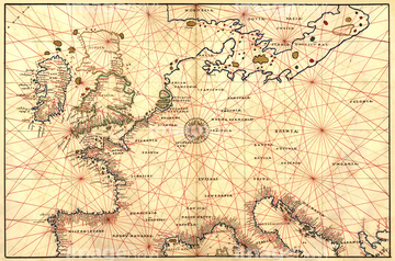
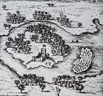
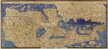
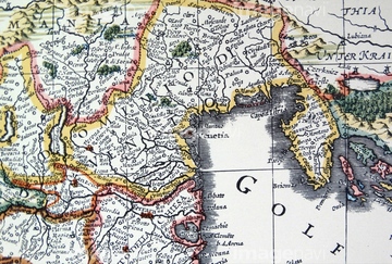
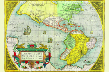
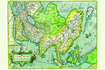
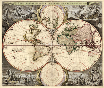
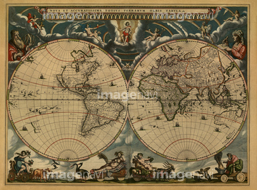
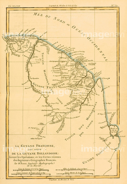
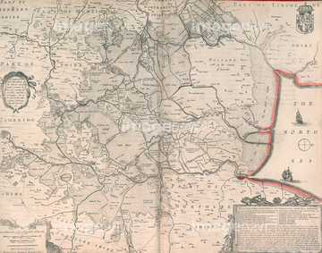
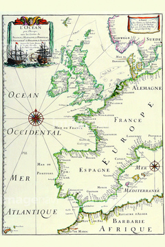
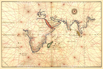
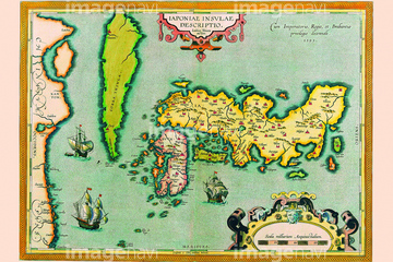
‚±‚جŒںچُŒ‹‰ت‚ة‚حپAPeking or Pekin or Beijing China 1655پAEmpires Of Japan, China & Korea 1655پASzechuan, China 1655پANanking, China 1655پAFukien, China 1655پAHunan, China 1655‚ب‚ا‚ھٹـ‚ـ‚ê‚ؤ‚¢‚ـ‚·پB
51492537

51492549
64082723

51437221
64082614

51435746

51435730
51492548

51435724

51421889
64083494
51492538
64083402

51435722

51435723

51435739
51491276

51435725

51435731

51435735

51437257

51437255

64083417


51435720

51435721

51435726

51435727

51435728

51435729


51435734

51435738

51426610
51422966

64083431

51437213
64233299


51435558

51435559

51435560

51435561

51435562

51436391

51436648

51437237

51437238

51437245

51437246

51437247

51437251
53127397

51436696

51435748
51435743
51437232
51437259
64083487

51421885

64055073


51435740


51430901

51422156

51424030

51436287

51436290
51430890
64083499
64083500
51437231
64083461

51421916

51421877

51421879

51421880

51421883

51421884

51421888

51421894

51421895

51421896

51421897

51421898

51421899

51421904

51421905

51421906

51435565
51491876

51421920


64083064
64083443

51437253
64116814
51489962
51495010
64233301
51421887
64082724


51436380
64083480
53101239
51491128

51437242

51421923
51437241

51435894

51436339

51421890

51421900

51421902

51421921

51435741


51436021

51436026

51436074

51436111

51436112

51436129

51436130

51436153

51436158

51436166

51436182

51436315

51436319

51436398

51436414

51405941

51405946

51410014

51410015

51410019
64083132
64083406

51421922
51421892

51421891

51421901
51491855
51491857
51491858
51491882
51491883
51491919
51491921
53101362

51421907
64082683

64083427

51411456
| ژںƒyپ[ƒW |
