HOME > ژتگ^ > ڈو‚蕨پEŒً’ت > Œً’تƒCƒپپ[ƒW > ’nگ}
10,000Œڈ‚جژتگ^‘fچق‚ھŒںچُ‚³‚ê‚ـ‚µ‚½پB
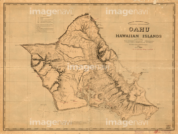
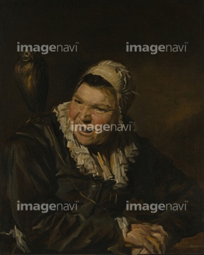
‚±‚جŒںچُŒ‹‰ت‚ة‚حپAƒAƒCƒ‹ƒ‰ƒ“ƒh‚ج’nگ}پAAustralia Circa 1760پAOld Map Of Greece And CreteپAMap Of The Island And Bay Of Santorin, In The GreeپcپAOahu, Hawaiian Islands, Survey Map, by C.J. Lyons,پcپAMalle Babbe‚ب‚ا‚ھٹـ‚ـ‚ê‚ؤ‚¢‚ـ‚·پB
51469897

51435722

51435723

51435730

51435739

51435724

51435725

51435731

51435735


51460123
41154543
51903478
51903856
51903857


51435558

51435559

51435560

51435561

51435562

51435720

51435721

51435726

51435727

51435728

51435729


51435734

51435738

51436391

51437237

51437238

51437245

51437251
51430901

51422156
51430890
51492537
51460121
51460122
51472437
53149355
41154542
41249660
51417139
51489962
51417154

51491256
51437231

52310869

29204762
51903882
52228583

64055083
51466411
19601770
19604615
64083417

51436672

51910872

30386613
64083146

64052655

53149247
53149253

53149386
51498051

51904921
64045004
51435736
51417147
53133200
64089037
51489225
51901329
51457910
64082724
53128512
51463013
51468233
51472435
51472440
51472441
51472442
51472443
51472444
51472445
51472446
51472447
51472450
51472451
51472452
51472456
51472457
51472459
51472462
51472463
51472464
30386615
51437253
51492549
51466412
51462951
51470323
51472322
51472404
51472406
51472407
51472408
51472412
51472414
51472418

51472419
51472422
51472454
51472455
51472460
51472461
51417148
51417149
51417285
53133041
51495010

51417134
51422391
51472409
51472410
51472411
51472416
51472420
51472421
51472423
51472426
51472433
51472448
51472449
51472458
51472465
64047144
| ژںƒyپ[ƒW |
