HOME > 写真 > 地図・衛星写真 > 古地図 > 世界の古地図
10,000件の写真素材が検索されました。
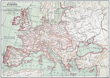
この検索結果には、Map of a Mediterranean Island 1602、Map of the Island of Cyprus 1602、Map of Far East China 1602、Map of The Middle East 1602、Map of South East Asia 1602、Map of Poland and Eastern Europe 1602などが含まれています。
51900818
51901446
51901293
51906163
51904034
51907059
51472437
30038105
51435905
51436350
51435952
51906178

51411466

51906137
51435903


51435747
51472435

51411444

51411445

51411446

51411447

51411453

51411454

51411455

51411467

51411469

51411470

51411503

51411516

51411448

51411457

51411459

51411468

51411505

51411506

51411508

51411509

51411513

51411523

51411524

51411449

51411452


51411461

51411462

51411464

51411465

51411502

51411504

51411511

51411512


51411517

51411518

51411519

51411520

51914388
51906136
51904929
51905037
51905038
51906135
51906138
51905715
51908682
53134545
52310869
51435768
51906140

51411451

51411460

51411463


51411521

51411522
51901286
51903324

51422943

51422944
51904282
51906139
53133032
51904281
51906157
51466428
51901287
51904283
51904239
51417169
51900830

51903834
51914557

51422942
51914486
52100872
51906155
30038106
51909017
51904147

51906170
51903205
51903206
51411507
51913056
51903418
52310871
51435598
51435631
51435689
51904053
51435953

51437221
51904227
51901285
51901838
51912281
51912282
51904110


51411456
51909016
51920054
64083483
51914559
51914560
51430884
51900831
51430889
51909888
30038124
30038103
51484968
51417276

51436216
51435831
51435893
51436338
51417293
51489955
51466529
51466718
51909012
30038102
51482408
51435525
51900819
51467422
51906179
51902335
51905713
51482465
51904087

64055083
51903242
51902903
51903124
51903125
51903578
51904753
51904922
51904088
51904059
51906151

51902926
51903214

51435514
| 次ページ |
