HOME > 写真 > 地図・衛星写真 > 古地図 > 世界の古地図
10,000件の写真素材が検索されました。
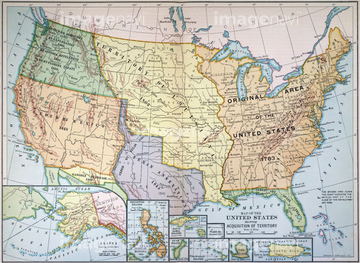
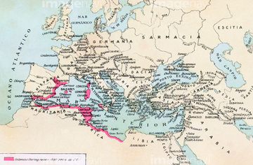
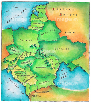
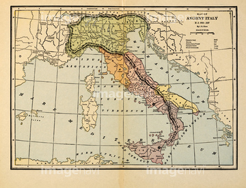
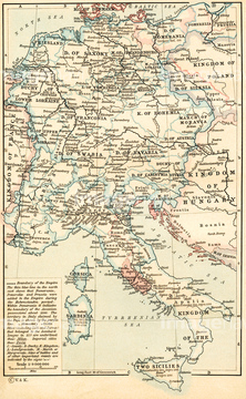
この検索結果には、Map of The Middle East 1602、Map of South East Asia 1602、Map of Poland and Eastern Europe 1602、Map of Eastern Europe #1 1602、Map of Eastern Europe #2 1602、Map of Eastern Europe #3 1602などが含まれています。
51906178
52100872
51907059
51906138
51900819
51930910
51905037
51905038
51435836
51900818
51904034
51906137
51901287
51906135
51906170

51411444

51411445

51411446

51411447

51411453

51411454

51411455

51411466

51411467

51411469

51411470

51411503

51411516

51411448

51411457

51411459

51411468

51411505

51411506

51411508

51411509

51411513

51411523

51411524

51411449

51411452


51411461

51411462

51411464

51411465

51411502

51411504

51411511

51411512


51411517

51411518

51411519

51411520

51906163
51901446
51901286
51901344
30038124
51901293
51905715
51908682
51904110
51903205
51913056
51904286
51904898

51411451

51411460

51411463


51411521

51411522
51932735
51904929

51902902
51482465
51904922
51906140
51904899
51904282
51901558
51906139
51904147
51904281
51914388
52310871
30038105
51906155
51906157
51902249
51920054
51482559
51906136
51411507
51436228
51914486
51902987
51904283
51904087
51900830
51903834
51913216
51904088
30038106
52310869
51904239

51435947
51435538
51906152
64083484
51457826

51436205

51901369
51435525
51903060
51903213
51903421
51436383
51435520
51914353
51905546
51905549
51909017
51489955
51902247
51913217
51914557
51904053
51435901
51903206
51904920
51903710
51903907
51435517
51904227
64107450
64107452
14301082
51903263
51903242
30038093

10903456
51907616
51460235
51435743
51906174
51912254
51483523
51903084
51903418
51903476
51903829

51436229
51426600
51435598
51435631
51435689
30038082
51937958
51902260
51906159
51909059
51902585
64082702

| 次ページ |
