HOME > 写真 > 地図・衛星写真 > 衛星写真 > 災害・気象現象
10,000件の写真素材が検索されました。
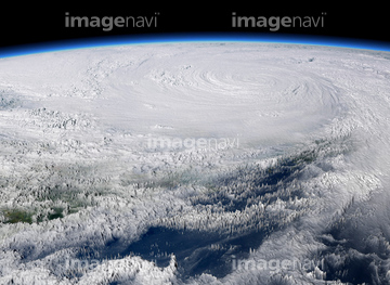
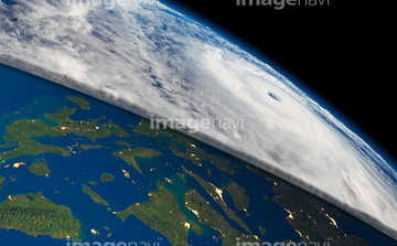
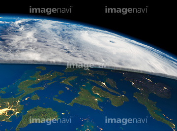
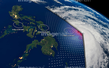
この検索結果には、Super typhoon Haiyan, November 2013、Hurricane Gonzalo, ISS image、Typhoon Bopha, ISS image、Hurricane Sandy 2012, ISS image、Hurricane Epsilon, ISS image、Extratropical storm Katia, 2011などが含まれています。


64046145

64076181

64061242

64057054


64079777

64084875


64075588

64075590

64109508

64170236

64049194


64067282

64057050


64108861


64014974

64243149

64014970

64014973

64014977

64062425

64220039

64064274

64067334

64060109

64060110

64243450


64062426


64062428

64062429


64014972
64078929
64078930
64078995
64078996
64078997
64079239
64079240
64079241
64096990
64062002
64062003
64062005

64062373

64044794

64044795

64044796

64052336
64072860
64072861

64067336

64043385

64170235


64152470


64067333
64115732


64061241
64063246

64014771


64140770

64014985

64062430

64109509

64064290

64067332

64014976

64057051

64057052

64057060
64050064


64169046

64169059
64075843

64014987


64067335


64057061

64057064

64111650

64131456


64067286

64014968

64135588

64164839


64044574


64040185

64040186


64016158

64152465


64014700

64067331

64200497

64014986

64014988

64014989


64067337

64073665

64093887

64014702


64115724


64096984

64089327


64109506


64219636

64149337

64260136

64057614
64096982

64109227
64115728


64017093

64073664


64152471

51425077

64111649

64116186

64116187

64116188


64067330


64062052
64109474
64109477
64109478
64109479


64075684
64131334
64131457
64062352

64105663

64057571

64057572

64057574

64059203


64053686

64067342

64067343

64067344
| 次ページ |
