HOME > ژتگ^ > ڈو‚蕨پEŒً’ت > Œً’تƒCƒپپ[ƒW > ’nگ}
10,000Œڈ‚جژتگ^‘fچق‚ھŒںچُ‚³‚ê‚ـ‚µ‚½پB
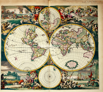
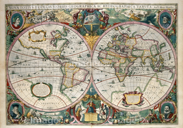
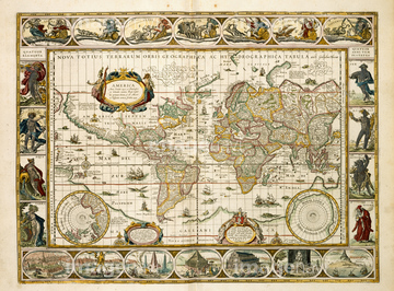
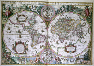
‚±‚جŒںچُŒ‹‰ت‚ة‚حپAPoverty levels in London, 1891پAMap of the County of EssexپATheatre of the Empire of Great BritainپAMap of Jerusalem, 1660sپANovus Planiglobii Terrestris Per Utrumque Polum CoپcپAAmerica 1600‚ب‚ا‚ھٹـ‚ـ‚ê‚ؤ‚¢‚ـ‚·پB
64083064
64083499
64083500
64083443
64083487
64083132
64083406
64082683
64083427
64082964
64083001
64083401
64083041
64083417
64083461
64083104
64083333
64083478
64083480

51489943
64082723
64083517
51491276
51436293

51436648

51437242

51436287

51436290

51436182


64083436

64083449
51492537

51435724
53101239
64083460
64083382
64083384
64083113
64083432
64083156

64055077

51437221

51405941

51405946

51410014

51410015

51410019

51436112

51436398

51436414
53142131
64082693
64082614
64082631
64082632
64082639
64082665
64082667

64083504

51436129

51435921

51435734


51436391


64083442
64083075
64082955
64082655

64083329
64083334
64083337
64083377
64083379

53118920

64055076
64083036
64083044
64083437
64083488
64083508
64082726
64083065

51435917


51436696

51437237

51437238

51437245

51437246

51437247

51437251


51435558

51435559

51435560

51435561

51435562

51435565

51435720

51435721

51435722

51435723

51435725

51435726

51435727

51435728

51435729

51435730

51435731

51435735

51435738

51435739
53127397


51436021

51436026

51436074

51436111

51436130

51436153

51436158

51436166

51436315

51436319

51435740

51435741


51411448

51411513

51411449

51411465

51411504

51411511


51436174


64082676
51472464

51422156
64082881
64082909
64083312
64083313
64083370
64083381
64083429
64082769
| ژںƒyپ[ƒW |
