HOME > 写真 > 地図・衛星写真 > 衛星写真 > 環境問題
10,000件の写真素材が検索されました。
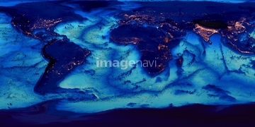
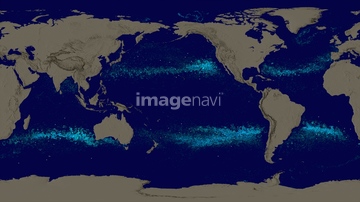
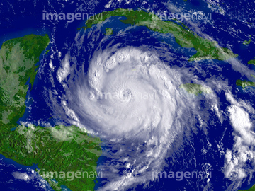
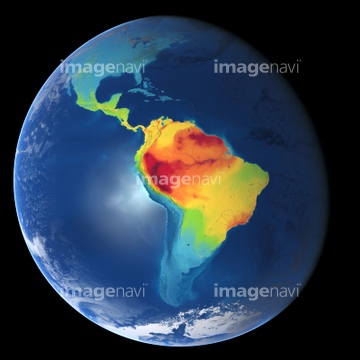
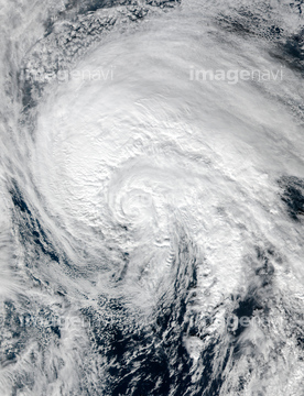
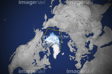
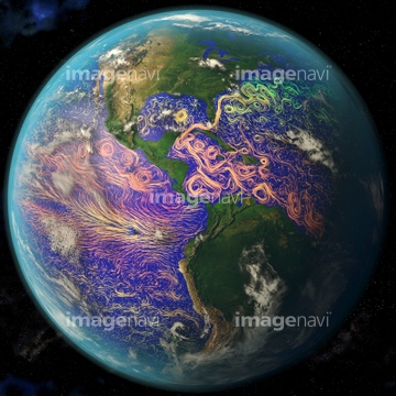
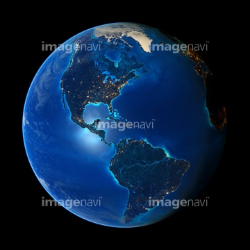
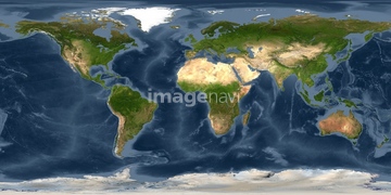
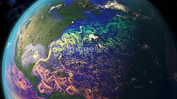
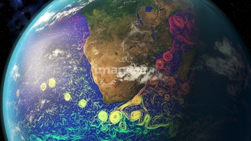
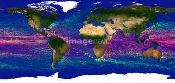
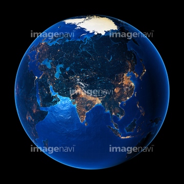
この検索結果には、ランドサット日本列島、World at night, satellite image、Ocean currents off the Americas、GLOBE world map with bathymetry and city lights、Water vapour distribution, computer model、Cyclone Debbie off Australian coastなどが含まれています。

64106823

64088667


64088450

64116457

64116458

64106828
64190450

64041383

64146819

64190451

64011211

64011230
64169045

64041390
64105951

64011200

70571190
64146820


64014971

64011203
17200276
64116185

64105944

64059717
64204972


64254088

64044794

64044795

64044796
64105962

64041384
64121440


64140771


64053690
64106821
64173035

64252300

64109422
64103757
64253423


64046145


64040014

64011214

64011215

64011231
64129763
64106820
64105954
64105956
64105960
64091526

64260136
64047394
64121441
64121442


64135588

64060109

64060110
64252301

17200257


64014670

64253424
64253425
64253426
64253427
64253428

64263237
64263238
64011198
64011208
64011212
64011213
64105953
64105961

64061242

64062373


64243450

64217602
64123529
64106822

64015154

64106283
64109467
64109468


64061241

64040007

64040008

64040009

64040010

64040011

64040012

64040013

64040015

64040016


64041391

64041392

64011221

64011223

64011225

64011229
64258106
64253801

64260979
64105949

64014120
64014573
64014574

64014575
64190780

64169046

64169059
64123565
64123566
64123567

64109527

64109558
64146823
64146824
64146825
64146826
64146827
64146829
64146830

64257529

64098695

64098700


20506144
64112158

64152465

64014702
64014960
| 次ページ |
