HOME > 写真 > 自然・風景 > 宇宙 > 地球
10,000件の写真素材が検索されました。
この検索結果には、Hurricane Charley、Larsen C iceberg, 2017 and 2018, satellite images、Cyclone Debbie off Australian coast、Storm Christoph approaching UK, satellite image、Hurricane Ivan、Hurricane Francesなどが含まれています。


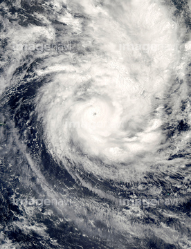
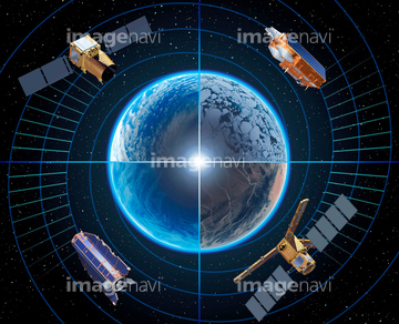
64152465

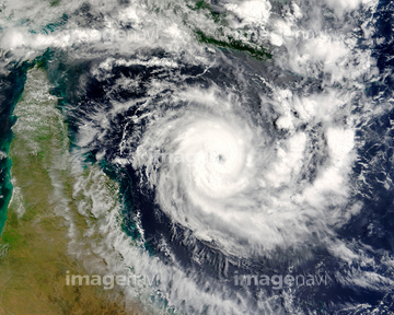
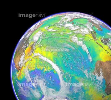
64152471

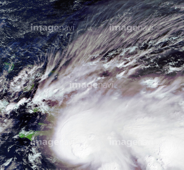
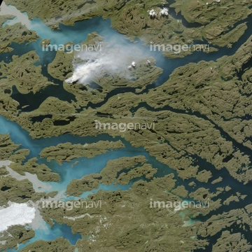
64152470

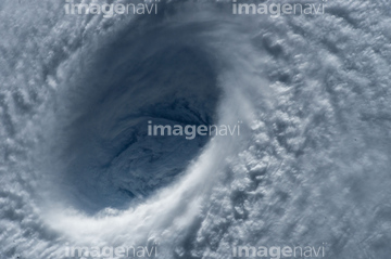
64057054

64040185

64040186

64046145

64044794

64044795

64044796

64062373


64067331


64061241

64061242

64014702


64243450
17200269
17200267
17200268
64096997


64014971

64014974


64014970
64014981


64260136

64169046

64169059

64088728

64109227


64067330

64040980


64047888
64253801

64014972


64140771

17200270

64014973
64014969


17200271

64014977
64015010
64015011

64015012

64014988

64014989


64053700
64015013

64015014
64015015
64015016
64015009
64015008


64014975
64014979
64014980
64014967
64096990
64063246
64050064
64014984

64087823

64109443

64109465

64109527

64109558

64043083

64242042

64218473


64061234

64061235

64062174

64062175


64044426

64044427

64047887


64040166


64040203

64040204

64040205

64040206

64041230

64067282


64067805


64075588

64075590

64011490

64014985


64052336

64060109

64060110


64040182

64040183

20506144


64014987
64193313

64109439

64109461

64218100
64014960

64135588
17200274
17200275

64109433

64109438

64109441

64109442

64109444

64109460

64109463

64109464

64109476


64109563


17200272
17200273
64012741

64109508


64058420

64058421

64045640

64045641
64045642

64045643

64045644

64045655
64067288
64115732

64076181
64062002
64062003
64062005
64072860
64072861

64075843

64040184

64140770


64086444

64086685

| 次ページ |
