HOME > 写真 > 自然・風景 > 宇宙 > 地球
10,000件の写真素材が検索されました。
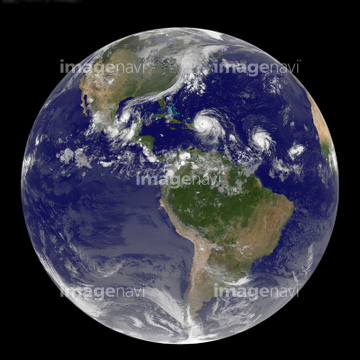
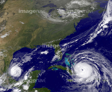
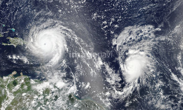
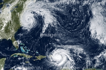
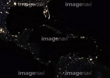
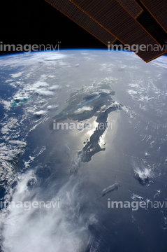
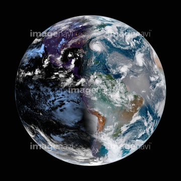
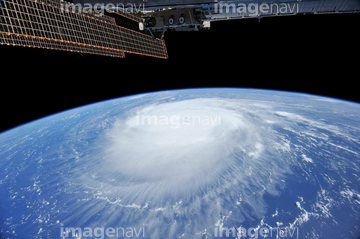
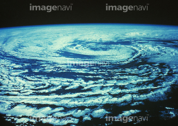
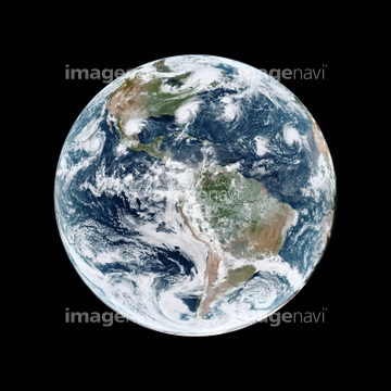
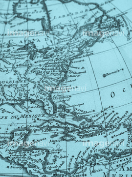
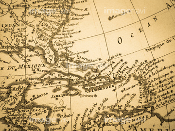
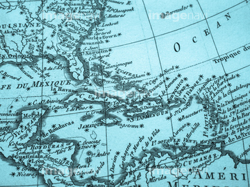
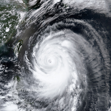
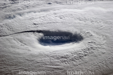
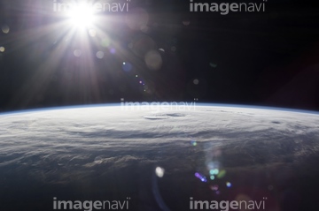
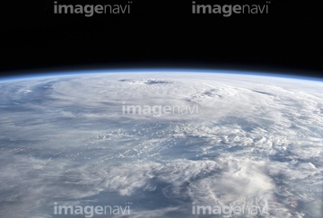
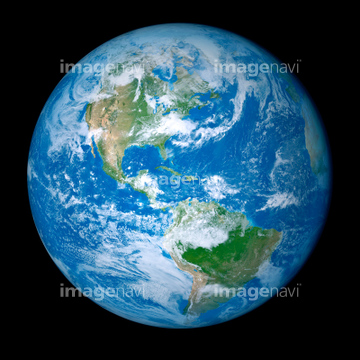
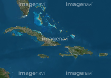
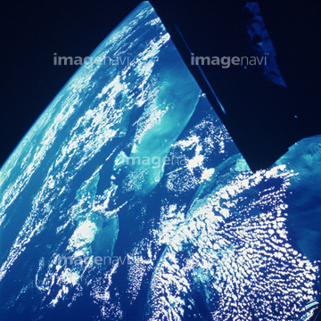
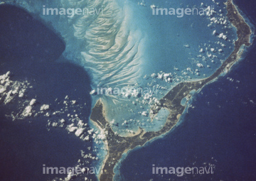
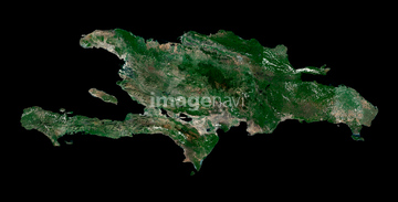
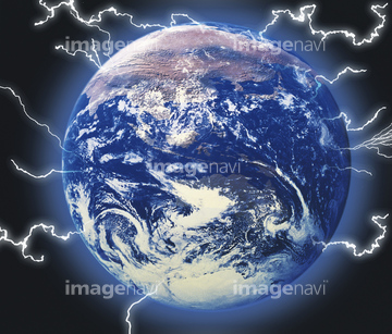
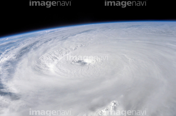
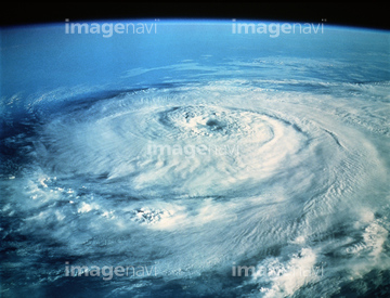
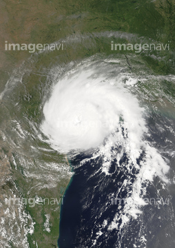
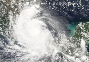
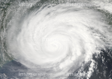
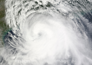
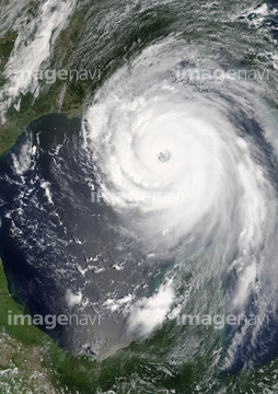
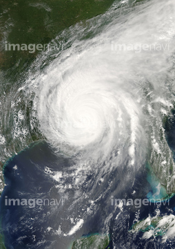
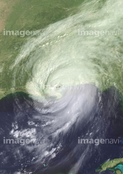
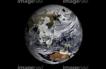
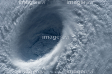
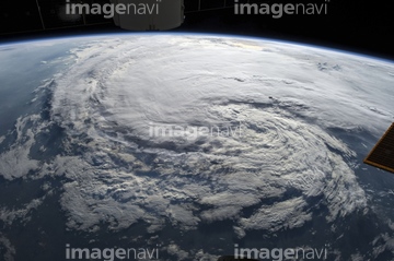
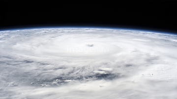
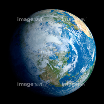
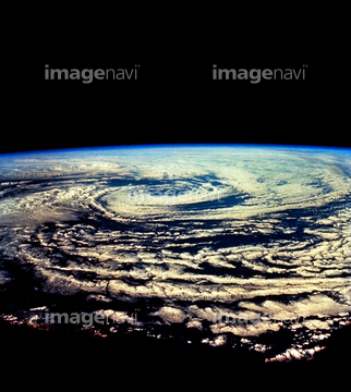
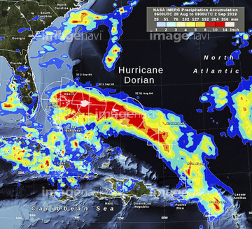
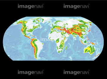
この検索結果には、宇宙から見た地球(NASA提供)、古地図 ラテンアメリカ、宇宙から見た台風、Hurricane Isabel over Atlantic Ocean, satellite vi…、Global winds, satellite-based diagram、Global winds, supercomputer simulationなどが含まれています。

64152470

64152465

64152471

64259408

64243450
64096985

64169045

64063246

64052336


30046969

64260136
64014960

64140770

64140771
99021011

64106823
99046046
64121440
64014969
64098657
64098671
64187948
64187949
64187950

64093887
41100026
41100027
41100028

64169046

64169059

20506144
64253801
00008403
99046034
99046038
31340569


64072860
64072861
64075843

64076181

64061242
64062002
64062003
64062005

64062373

64014702


64044794

64044795

64044796
64050064

64053690
64096990
99021009
64152508
41099995
41099996
41099997

64067331

64088667
41099809
41099810
41099811
41099812
41099813
41099814
41099845
41099846
41099847
41099848
41099849
41099850
41099851
41099852
41099853
41099854
41099855
41099856
41099857
41099858
41099859
41099860
41099861
64096997
64094261
00008402
99021018

64014974
41524326
23938427
23934159
23934165

17200269

64040185

64040186

64014972
30399055
30399057
00008404
41100023

41100024
41100025
64014983

64057054


17200270

30029236

64014973
64014981

64014988

64014989
64103757
64052748

64263237
64263238
64206258
64206259
64237590


64129763

64185241

64185242

64185243


64060109

64060110

64061241

64046145
64115732


64097539
64037990
64148895
| 次ページ |
