HOME > 写真 > 自然・風景 > 宇宙 > 地球
10,000件の写真素材が検索されました。
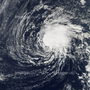
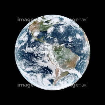
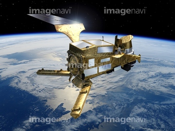
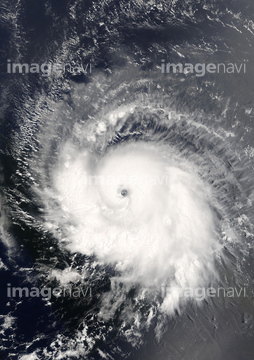
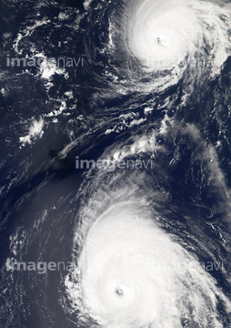
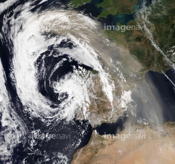
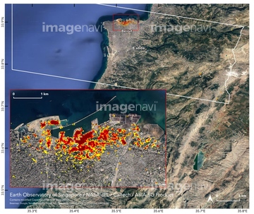
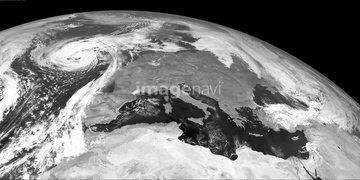
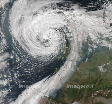
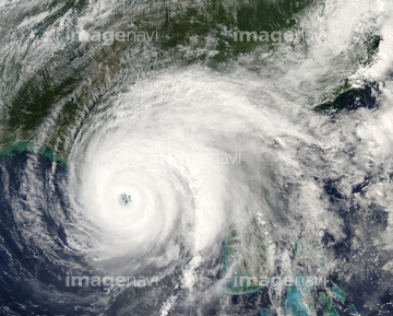
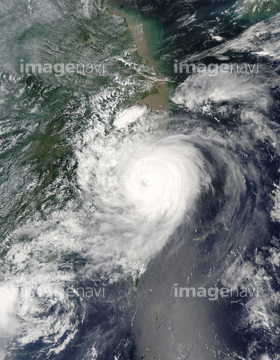
この検索結果には、Cyclone Freddy, ISS image、Hurricane Norbert, satellite image、Hurricane Epsilon, satellite image、Hurricane Epsilon, ISS image、Tropical Storm Alex, January 2016、Atlantic atmospheric water vapourなどが含まれています。


64088667

64140771
64169045

64169046

64169059
17200276

64243450

64060109

64060110


64152465

64152470

64152471


64257529

64217602

64140770

64014971


64014670


64096997
64253801

64135588

17200269

64260136

64057054

64046145

64044794

64044795

64044796
64116185

64106823
64103757
64014969

64053690


64040185

64040186
17200275


64014974


64062373

64014702


17200256

17200257


64116457

64116458
64168199
64168205


64168208


64258106
64173143
64173144
64219634

64219636

64014987

64014970

64014973

64108861

64109227


64061241

64061242


64052336


64014988

64014989

64067331

64088450


64041383

64041390

64062430


17200249

17200250
17200251


17200253


17200255

64011200

64011211

64011230

64093887

17200258

64163259
64096990
64062002
64062003
64062005
64072860
64072861
64115728
64115732

64193313
64014960
64153577
64153578
17200270
17200274
64014981
30046969
64129763
64154867
64169502


64185242

64185243


64014972

64109422

64067332
64012741

64014975
64014979
64014980

64063275
64141171
17200267
17200268


20506144

17200234

64011276
| 次ページ |
