HOME > 写真 > 産業・環境問題 > エネルギー・エコロジー > 環境破壊・汚染
10,000件の写真素材が検索されました。
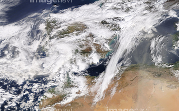
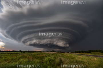
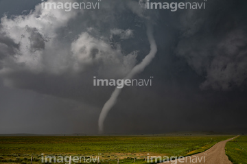
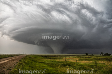
この検索結果には、Hurricane Gustav, 31st August 2008、Hurricane Gustav, 1st September 2008、Supercell thunderstorm, Kansas, USA、Rope tornado, Montana, USA、Large tornado, Montana, USA、Tornado, Montana, USAなどが含まれています。


64014773

64014771

64109509


64200497
64256538

64040993

64014421

64262548

64218100


64014970


64170974
64011298
64011299

64014974
17290995

64203337


64078929
64078930
64078995
64078996
64078997
64079239
64079240
64079241
64192648
64192838
64011300

64014973

64014988

64014989
64170968
64170970
64170972

64170973

64131456
64188518
64190777


64062426


64062428


64014930


64057054

64061242

64046145

64014976

64014977

64014985

64067282

64075588

64075590

64014972

64112895

64116186

64116187

64116188

64109527

64109558
64170976
41156997
41156998
41156999

64257529


64053576
20555808


64046247
64116359
64116360
64112944


64014987

64219636

20506144
17274214
64206692
64206693
64058136
64058140
64058141
64058146
64011303

64011304

64011305
64011306

64109506

64049194
64188517


64201790
64201808
64254063
64254089
64058127


64044574
64014963
64014964

64014968

64109563

64109560
64168961

64253111

64253112
64170971
64170975
64112898
64112899
64253422

64109508


64014986

64017093


64109443

64109465
64043474
64045846

41523421

41523422
41523423
41523424
41523425
41523426
41523427
41523428
41523429
41523430
41523431
41523432
41523433
41523434
41523435
41523436
41523437
41523438
41523439

17200257

| 次ページ |
