HOME > 写真 > 自然・風景 > 宇宙 > 衛星
10,000件の写真素材が検索されました。
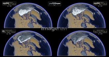
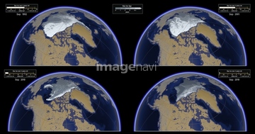
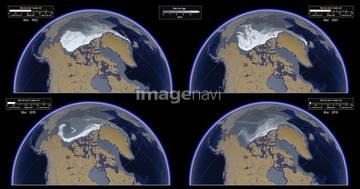
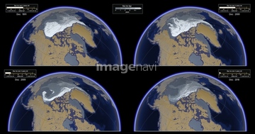
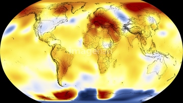
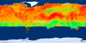
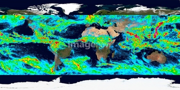
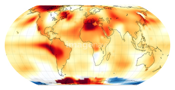
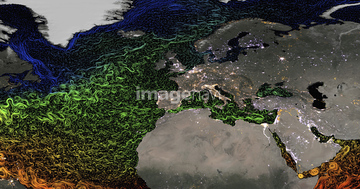
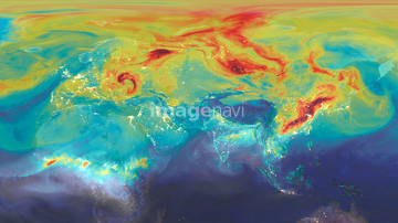
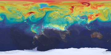
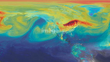
この検索結果には、Global sea level rise, 1992-2014、Global temperature anomalies, June 2019、North and South America climate model、Arctic sea ice record low maximum, 2016、Maximum Arctic sea ice extent, 2021、Melting icebergなどが含まれています。

64088450

64105772

64255401
64257399
64257411
64204971
64204972
64247623
64128970

64260979
64253423

64106283

64204970

64253422
64253424
64253425
64253426
64253427
64253428
64169502
64154867
64105948

64059717
64077812
64181222
64046247
64100590
64242357
64112898
64112899

64190780


64215904
64181223
64105953

64105944

64109422

64264125

64073495
64141450
64162892

64178179
64179521

64014120
64190779
64109560

64105947
64130389
64113430
64113431

64116359
64116360


64014421
64015247

64058420

64058421


64112895
64201796
64201797
64201798
64201799


64185242

64041383
64112900

64109527

64109558

64185233

64185234

64185235

64185236

64185237

64185238

64185239

64185240
64203129
64203130
64109488

64109489
64109490


64106823
64125750
64014677
64165236
64015237
64015238
64015245
64210089
64139348
64015239
64015240
64015241
64015242
64015243
64015244
64015246
64077155
64112894
20543664
20543741
64058129

64014771
64106643
63031972

64263237
64015139
64014573

64206692
64206693
64160092
64116355

64045846

64045653


64075196

64075197
64112944


64201808
64254063
64254089
64201790
64201791

64041230
| 次ページ |
