HOME > 写真 > 自然・風景 > 宇宙 > 地球
10,000件の写真素材が検索されました。
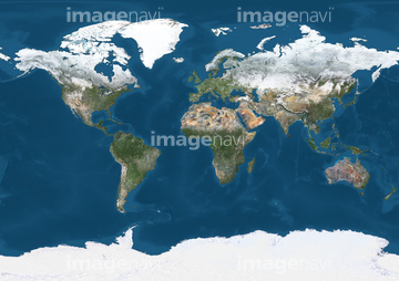
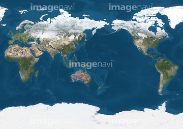
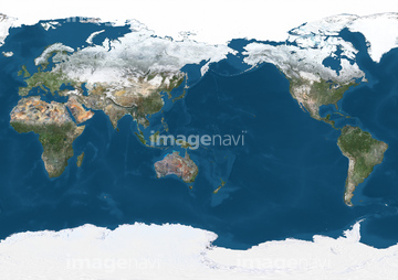
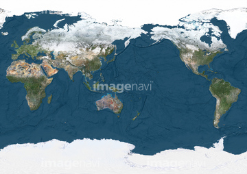
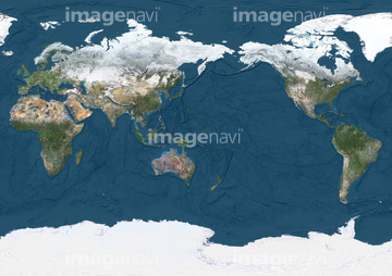
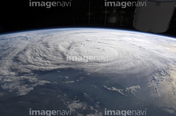
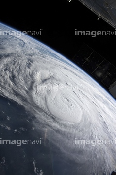
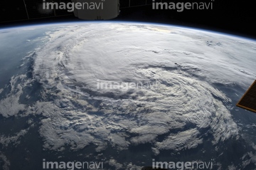
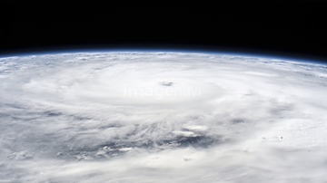
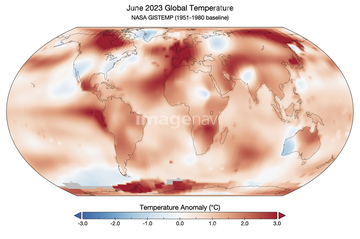
この検索結果には、Isles of Scilly, UK, satellite image、Maximum Arctic sea ice cover, 2015、Cyclone Debbie off Australian coast、Krakow in the snow, satellite image、Hurricane Epsilon, satellite image、World map, January 2004などが含まれています。


64260979

64215904

64088667


64109227

64135588


64204970


64140771

64243450
64211648
64253801

64088450

64062430


64161003

64264125

64141450
64162892

64178179

64260710
64125454
64211646

64106283

64140770

64087823

64046145

64044741

64108861

64260136
64129763

64014109

64087812
64141171
64116185


64062426


64062428


64044794

64044795

64044796


64014117
64091462

64057054

64109422


64040980
64125987

64103757

64263237
64263238

53112888
53112889
53112890
53112891

64087874

64096997

64041383

64139331

64139333
64139336


64152465

64185241

64185242

64185243
64091427
64096039

64098695

64098696

64100584

64102918
64059339

64059357

64106823

64257903
64257904
64098663
64098667


64064290


64098666

64040014

64011211

64011214

64011215

64011231
17200274


64106455
64259481

64259482
64259487

64259490
64259647
64259653
64259657
64259661
64259732
64260474


64061241

64259656

64260477
64260478
64260487
| 次ページ |
