HOME > 写真 > 自然・風景 > 宇宙 > 惑星
10,000件の写真素材が検索されました。
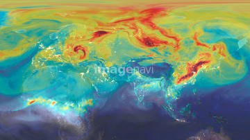
この検索結果には、地図と地球、Ocean-atmosphere CO2 exchange, 1945、Ocean-atmosphere CO2 exchange, 2000、Ocean-atmosphere CO2 exchange, 2015、Ocean-atmosphere CO2 exchange, 2030、Ocean-atmosphere CO2 exchange, 2050などが含まれています。
64047394
64045846

64109465
64014715
64051929
64160092
30371455
64067518
64067523
64067524
64071961

64014120


64109527

64109558


64014771

64105944

64041230

64014421

64043836
64043838
21851768

64062174

64062175


64040203

64040204

64109443

64109444

64109460

64109461

64109462

64109463

64109464
64056070
64056071
64017242

64058322
64049619
64051927
64051928
64052195

64044426

64044427
64254089

20506144

64014575
64145886
64112895


64014694
64014695


64106283

70250393
64037946

64040166

64040205

64040206
64254063
10994712

21855396
17241231
10994735
64017217
64017218

51450290


64026789
64028726
64028727
64028728
| 次ページ |
