HOME > 写真 > 地図・衛星写真 > 衛星写真 > 災害・気象現象
10,000件の写真素材が検索されました。
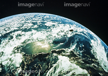
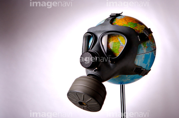
この検索結果には、地球(NASA提供)、宇宙から見た地球(NASA提供)、Globe wearing a gas mask、Whole Earth (Blue Marble 2000)、Hurricane Irma, satellite image、Typhoon Bopha, satellite imageなどが含まれています。


64014831


64067805

64109558

64075588

64075590

64011490


64014702

64043083


64062174

64062175

64062373

64044426

64044427

64047887


64040203

64040204

64041230


64067330

64218473

64242042

64109527
64047394

64067518
64067523
64067524
64071961

20506144

64097570
99021001
99021002
99021003
99021004
99021005
99021006
99021007
99046196
99046197
99046199
16913648

64014670

64152465

64061242

64044794

64044795

64044796

64047888

64040166


64040205

64040206

64040980

64067282

64067331


64088728
53118752
64014715
64014960
64054809
64045846
64023484
64067288

64109443

64109465
64160092
64014672
64014712
64058834


64053486
64053489
64053490

64053684

64040182

64040183

64067292

64067293
64067564

64086444

00008416

64051872
64051873
64049954

30087550

64059199
64059200
64059207
64059208
64059211

64053256

64053257

64053258

64053259

64053260

64053368

64053369

64053371

64053372

64053385

64053561

64075672
64075673
64075674
64075675
64075676
64075793
64075794
64075884
64075885
64075886
64075887
64075888
64075889
64075890
64075891
64060329
64011489
10121799
64045794

64014421

64045563

64067291


64152471

64061241

64046145

64014771

64058420

64058421


64168208

64056802
64056803
64056806
64056816
64056817
64040662
64075371
64023097
64023101
64023102
64023103
64023104
64023105
64023106
64023107
64023109
64023111
64023112
64023115
64023121
64023122
64023123
64023125
64023126
64023127
64023128
64023152
64023198
64023437
64023449
64077604
64078175
64078176
| 次ページ |
