HOME > 写真 > 自然・風景 > 宇宙 > 地球
10,000件の写真素材が検索されました。
この検索結果には、Earth's clouds simulation, GEOS-5、Meteosat Third Generation-Imager satellite, illust…、El nino, June 2023、Developing El nino, April 2023、Global warming record, 2000-2004、Global warming record, 2010-2014などが含まれています。
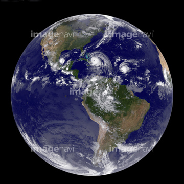

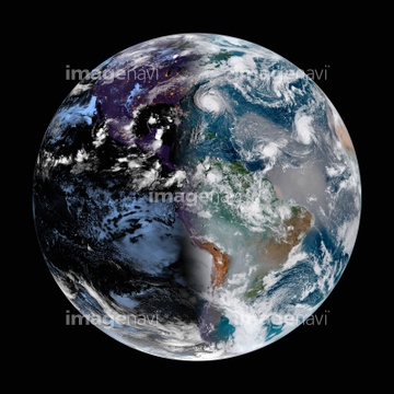
64152465

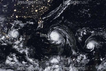
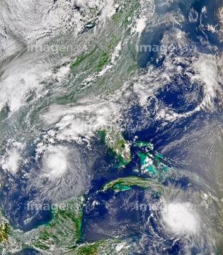
64152471

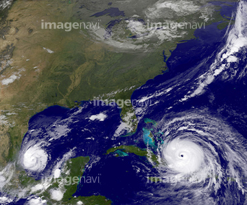
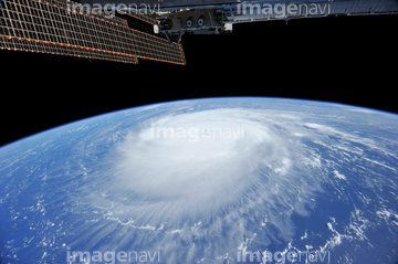
64152470


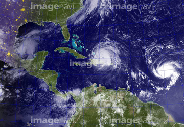
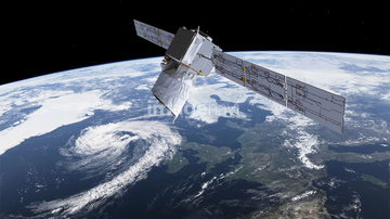
64243450


64260136


64140771

64169045
64014969
64063246

64052336

64061242

64062373

64044794

64044795

64044796

64053690


64014702


64067331
64103757
64096997

64140770

64040185

64040186


64253801

64057054

64088667

17200270

64014973
64014981
64129763

64263237
64263238

64185241

64185242

64185243

64014988

64014989

64061241

64046145

64169046

64169059


64014972
64259408

20506144
64096990


64076181
64062002
64062003
64062005
64050064
64072860
64072861
64075843

64014987
64014960

64088728

64067330

30046969

64040980

64011192

64106823
17200269


64116185
99021011

64088450


64109422

64109527

64109558

64260979

64185232

64185233

64185234

64185235
64185237

64185238

64185239

64185240


64218473

64185236
64141450

17200271
64014984
64206258
64206259
64237590


30029236
64219634

64219636
64115732

64060109

64060110

64252742
64014983
64109502

64109505

64011918

64109227

64135588


64116457

64116458

64162892


64168208


64043083

64204970


64178179

64242042


64215904

64217602

64097599


64058420

64058421

64062174

64062175

64046391

64044426

64044427

64047887

64047888


64053325

64040166


64040203

64040204
| 次ページ |
