HOME > 写真 > 自然・風景 > 宇宙 > 地球
10,000件の写真素材が検索されました。
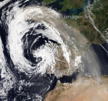
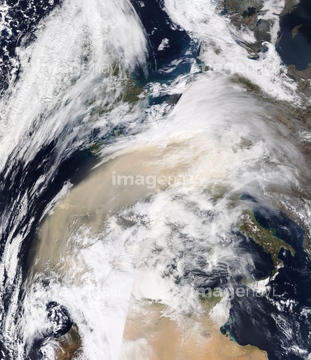
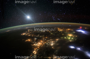
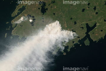
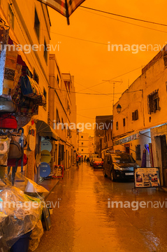
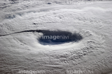
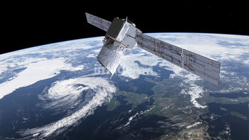
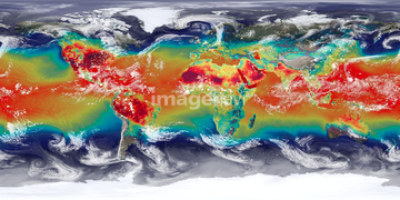
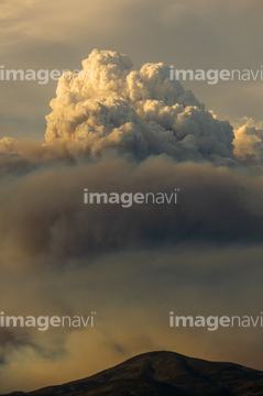
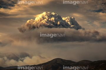
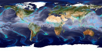
この検索結果には、Haze covering the skies of Morocco、Tropical Storm Alex, January 2016、Clouds over the Americas, GOES image、Typhoon Neoguri, ISS image、Storm Abigail, satellite image、ADM-Aeolus satellite, illustrationなどが含まれています。


64140771

64062430


64218100
64109502

64109503


64108861

64109505
64219634

64219636


64253801


64243450

64257529

64217602

64109461

64067332
64257903
64257904

64203337

64260136
64192700

64109421
64248352
64248353
64248354
64248355
64248356
64116185

64088667
64096997

64109227
64103757

64135588


64011489

64011490
64254088

64109439
64109470


64109462

64109463

64109464


64260979

64204970
64204971
64247623


64215904

64255140
64262470
64253216
64253217
64097601
64097602
64119292


64140770


64129762


64057061

64115728

64263237
64263238


64067330
64091492
64170956

64014930

64217603
64211583
64211584
64211585
64211586
64211587
64211588
64211589
64086398
64087811
64092229
64115822
64040979


64154867
64169502

64185241

64185242

64185243

64109444

64109460

64109465


64152465

64152470

64152471


64057054
64096993
20543664
20543741

64088450
64088702

64092867

64092868


64109422

64109440

64109441

64109442
64109471

64109472

64109473

64109475

64109506

64109509

64109527

64109558

64109563

64116457

64116458

64105772

64255401
64257399
64257411


64058420

64058421

64045640

64045641

64045643

64045644

64045653

64045654

64045655

64041230

64041390
| 次ページ |
