HOME > 写真 > 自然・風景 > 宇宙 > 衛星
10,000件の写真素材が検索されました。
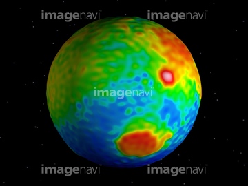
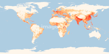
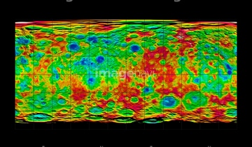
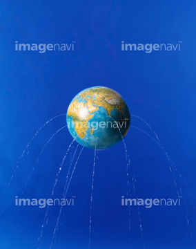
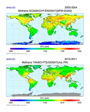
この検索結果には、World population density in 2000、Global digital elevation model、Ceres topography, satellite image、Planet earth with water leaking from it、Gravity at the Moon's north pole、Globeなどが含まれています。

64112894
64112895
64112898
64112899
64190779
64253422
64190780
64253423
64253424
64253425
64253426
64253427
64253428
64112900

64146819
64146820


64131456

64040177

64040178


64106283


64128465

64043083
64041231

64043123
64105444
64089685
32985526
64022873
64037990


64109527

64109558
64160092
64047394


64014573
64058322

64051929

20506144

64109443

64109465


64105944
64105961
64105962


64050265


64215904
64089695


64014120

64014575


64194875
64128464
64168425

64085875
64109488

64109489
64109490
64096326


64085877

64085878

64022874
64022875
64022876
64022877
64022878
64109483
20570079
20570080
40095036

64044480
64044481

64109563
64203129
64203130

64152465

64208339

64109439

64109461

64088450

64056070
64056071
64056072


64109422

64201808
64045846
64049619
64051927
64051928
64052195
64109421
31169200
31169201
31169202
40085023
40837421
40837429
40837439
40837441

40837450
40837451
40837452
40837624
40837625
40837626
40837631
| 次ページ |
