HOME > 写真 > 自然・風景 > 宇宙 > 惑星
10,000件の写真素材が検索されました。
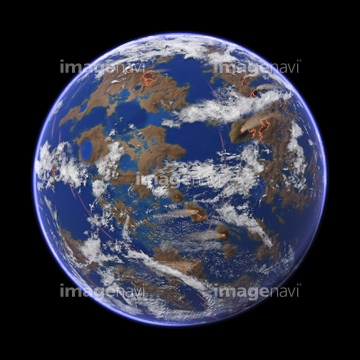
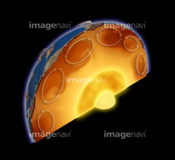
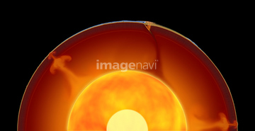
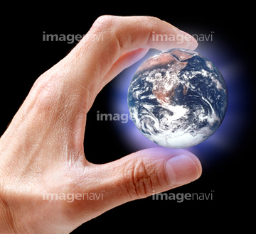
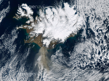
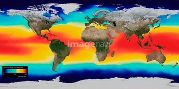
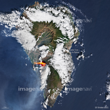
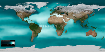
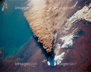
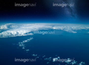
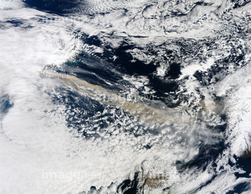
この検索結果には、宇宙から見た地球(NASA提供)、Ocean-atmosphere CO2 exchange, 2100、Global warming, conceptual image、Global warming effects, conceptual image、Greenhouse effect, conceptual image、Eyjafjallajokull eruption, April 2010などが含まれています。
64015482

64014120
00008410

64086444
64062435

64053684

64062174

64062175

64062433

64014575
64049954
64060329
64067300
64067302

64067303

64053486
64053489
64053490

64105944

64086685

64044426

64044427
64014715

64109563

64067291


64067330


64109460

64109527

64109558

64106283
64076180
64023310

64109465
64160092
64047394

64112943


64014421
64014573

64130097
64130099
64045846

64190764

64062436

64109473

64109475

64109476
64073758


64088728

64152465

64242042

64218473


64061242

64062373

64044794

64044795

64044796

64047887

64047888

64014670


64014702

64014831
64014960

64067282


64067331

64067805

64011490
64013803
64013804

64185233

64185234

64185238

64185239

64185240

64185236

64043083
64067523
64071961
64014574


64106823

64109438
64062718
64063098
64068269
64097570

64109444

64109461

64109462

64109463

64109464

64109469

64109443

64200497
64037990
64061373
64061374
64067518
64067524

64145886
64059582


64062428


64051876
64090803

64218100


64053700
64159974
64212390

64040182

64040183

64040184
64067564
64086219
51450310
64051929
64076587
64076588
64076589
64076590
64054809


64040166


64040203

64040204

64040205

64040206

64040980

64041230

64075588

64075590
| 次ページ |
